Distance to Leamington, Utah

Calculating Your Route
Just a moment while we process your request...
Location Information
-
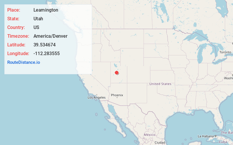
Full AddressLeamington, UT 84638
-
Coordinates39.5346744, -112.2835549
-
LocationLeamington , Utah , US
-
TimezoneAmerica/Denver
-
Current Local Time12:44:38 PM America/DenverThursday, June 19, 2025
-
Page Views0
About Leamington
Leamington is a town in Millard County, Utah. The population was 217 at the time of the 2000 census.


Nearby Places
Found 10 places within 50 miles

Oak City
11.4 mi
18.3 km
Oak City, UT 84649
Get directions

Delta
20.1 mi
32.3 km
Delta, UT 84624
Get directions

Scipio
22.2 mi
35.7 km
Scipio, UT 84656
Get directions

Levan
22.5 mi
36.2 km
Levan, UT 84639
Get directions

Hinckley
25.3 mi
40.7 km
Hinckley, UT
Get directions

Deseret
26.1 mi
42.0 km
Deseret, UT 84624
Get directions

Nephi
26.7 mi
43.0 km
Nephi, UT 84648
Get directions

Mona
30.0 mi
48.3 km
Mona, UT
Get directions

Holden
30.1 mi
48.4 km
Holden, UT
Get directions

Eureka
30.3 mi
48.8 km
Eureka, UT 84628
Get directions
Location Links
Local Weather
Weather Information
Coming soon!
Location Map
Static map view of Leamington, Utah
Browse Places by Distance
Places within specific distances from Leamington
Short Distances
Long Distances
Click any distance to see all places within that range from Leamington. Distances shown in miles (1 mile ≈ 1.61 kilometers).