Distance to Leander, Louisiana

Calculating Your Route
Just a moment while we process your request...
Location Information
-
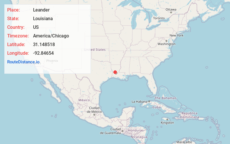
Full AddressLeander, LA 71438
-
Coordinates31.1485178, -92.8465402
-
LocationLeander , Louisiana , US
-
TimezoneAmerica/Chicago
-
Current Local Time12:14:09 AM America/ChicagoWednesday, June 25, 2025
-
Page Views0
About Leander
Leander is an unincorporated community in Vernon Parish, Louisiana, United States. Its ZIP code is 71438.
Leander did not participate in the 2010 census.
Nearby Places
Found 10 places within 50 miles

Afeman
3.6 mi
5.8 km
Afeman, LA 71438
Get directions
Lacamp
4.2 mi
6.8 km
Lacamp, LA 71446
Get directions
Sieper
4.9 mi
7.9 km
Sieper, LA 71472
Get directions

Hineston
5.2 mi
8.4 km
Hineston, LA 71424
Get directions
Walding
6.0 mi
9.7 km
Walding, LA 71472
Get directions
Hemphill
8.2 mi
13.2 km
Hemphill, LA 71409
Get directions
Jericho
8.3 mi
13.4 km
Jericho, LA 71447
Get directions
Otis
8.4 mi
13.5 km
Otis, LA 71466
Get directions
Elmer
9.9 mi
15.9 km
Elmer, LA 71424
Get directions
Hicks
10.3 mi
16.6 km
Hicks, LA 71446
Get directions
Location Links
Local Weather
Weather Information
Coming soon!
Location Map
Static map view of Leander, Louisiana
Browse Places by Distance
Places within specific distances from Leander
Short Distances
Long Distances
Click any distance to see all places within that range from Leander. Distances shown in miles (1 mile ≈ 1.61 kilometers).