Distance to Leander, Oklahoma

Calculating Your Route
Just a moment while we process your request...
Location Information
-
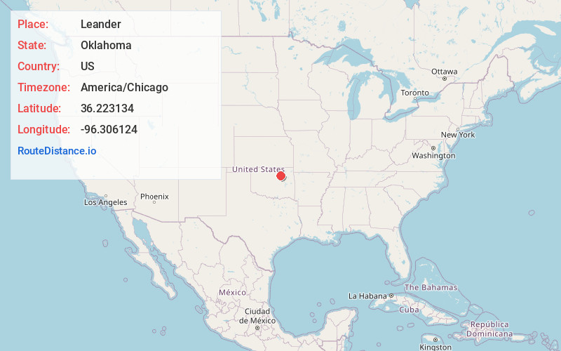
Full AddressLeander, OK 74020
-
Coordinates36.2231341, -96.3061242
-
LocationOklahoma , US
-
TimezoneAmerica/Chicago
-
Current Local Time6:32:06 PM America/ChicagoWednesday, July 2, 2025
-
Page Views0
Nearby Places
Found 10 places within 50 miles

Mule Barn
0.5 mi
0.8 km
Mule Barn, OK 74020
Get directions
Baugh
0.7 mi
1.1 km
Baugh, OK 74020
Get directions
Empy
0.8 mi
1.3 km
Empy, OK 74020
Get directions
Curchece
0.8 mi
1.3 km
Curchece, OK 74020
Get directions

Westport
1.1 mi
1.8 km
Westport, OK
Get directions
Sha-To-She
1.8 mi
2.9 km
Sha-To-She, OK 74020
Get directions
Jubys
1.8 mi
2.9 km
Jubys, OK 74020
Get directions
Peterman Ridge
2.1 mi
3.4 km
Peterman Ridge, OK 74020
Get directions
Calida
2.1 mi
3.4 km
Calida, OK 74044
Get directions
Oak Grove
2.2 mi
3.5 km
Oak Grove, OK 74020
Get directions
Location Links
Local Weather
Weather Information
Coming soon!
Location Map
Static map view of Leander, Oklahoma
Browse Places by Distance
Places within specific distances from Leander
Short Distances
Long Distances
Click any distance to see all places within that range from Leander. Distances shown in miles (1 mile ≈ 1.61 kilometers).