Distance to Mule Barn, Oklahoma

Calculating Your Route
Just a moment while we process your request...
Location Information
-
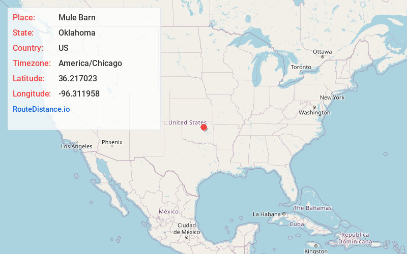
Full AddressMule Barn, OK 74020
-
Coordinates36.2170227, -96.3119578
-
LocationMule Barn , Oklahoma , US
-
TimezoneAmerica/Chicago
-
Current Local Time9:55:27 PM America/ChicagoSunday, June 22, 2025
-
Page Views0
About Mule Barn
Mule Barn was a town in Pawnee County, Oklahoma, United States. It was located west-northwest of Tulsa, on the west side of Keystone Lake. Its population was zero on both the 1990 and 2000 censuses.
According to the United States Census Bureau, the town had a total area of 0.0 square miles, all land.
Nearby Places
Found 10 places within 50 miles

Westport
0.7 mi
1.1 km
Westport, OK
Get directions

Oak Grove
1.7 mi
2.7 km
Oak Grove, OK 74020
Get directions

Prue
3.5 mi
5.6 km
Prue, OK 74060
Get directions

Mannford
6.2 mi
10.0 km
Mannford, OK
Get directions
Osage
7.8 mi
12.6 km
Osage, OK 74054
Get directions

Terlton
10.1 mi
16.3 km
Terlton, OK 74081
Get directions

Cleveland
10.6 mi
17.1 km
Cleveland, OK 74020
Get directions

Lawrence Creek
11.1 mi
17.9 km
Lawrence Creek, OK 74044
Get directions

Sand Springs
12.5 mi
20.1 km
Sand Springs, OK
Get directions
Hallett
14.3 mi
23.0 km
Hallett, OK
Get directions
Location Links
Local Weather
Weather Information
Coming soon!
Location Map
Static map view of Mule Barn, Oklahoma
Browse Places by Distance
Places within specific distances from Mule Barn
Short Distances
Long Distances
Click any distance to see all places within that range from Mule Barn. Distances shown in miles (1 mile ≈ 1.61 kilometers).