Distance to Hallett, Oklahoma

Calculating Your Route
Just a moment while we process your request...
Location Information
-
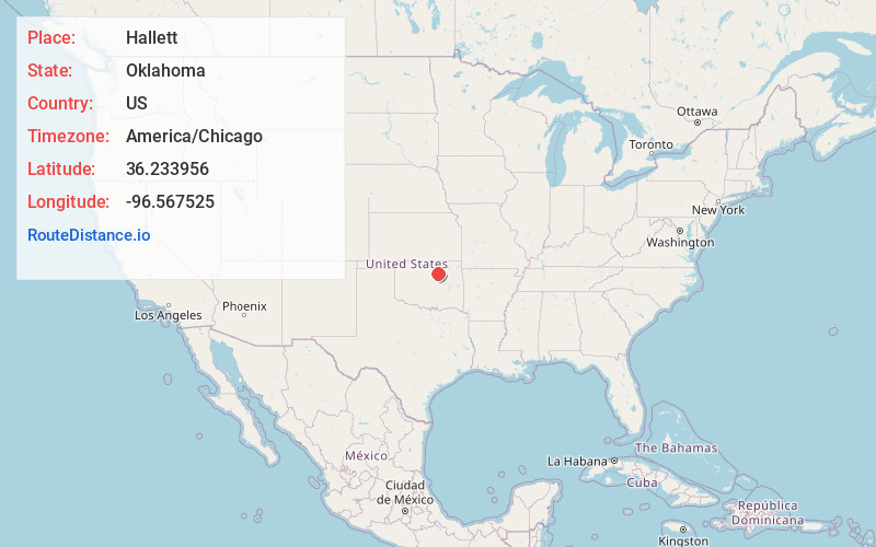
Full AddressHallett, OK
-
Coordinates36.2339559, -96.5675251
-
LocationHallett , Oklahoma , US
-
TimezoneAmerica/Chicago
-
Current Local Time10:26:08 PM America/ChicagoThursday, June 19, 2025
-
Page Views0
About Hallett
Hallett is a town in Pawnee County, Oklahoma, United States. It is located 19 miles southeast of Pawnee, the county seat of Pawnee County, on State Highway 99, slightly north of U.S. Highway 412. The population was 105 as of the 2020 Census.
Nearby Places
Found 10 places within 50 miles

Jennings
3.6 mi
5.8 km
Jennings, OK 74038
Get directions

Cleveland
7.8 mi
12.6 km
Cleveland, OK 74020
Get directions
Osage
9.4 mi
15.1 km
Osage, OK 74054
Get directions

Blackburn
9.7 mi
15.6 km
Blackburn, OK
Get directions

Oilton
10.4 mi
16.7 km
Oilton, OK
Get directions

Yale
11.1 mi
17.9 km
Yale, OK 74085
Get directions

Lawrence Creek
13.0 mi
20.9 km
Lawrence Creek, OK 74044
Get directions

Westport
13.6 mi
21.9 km
Westport, OK
Get directions

Mannford
13.8 mi
22.2 km
Mannford, OK
Get directions

Pawnee
15.0 mi
24.1 km
Pawnee, OK 74058
Get directions
Location Links
Local Weather
Weather Information
Coming soon!
Location Map
Static map view of Hallett, Oklahoma
Browse Places by Distance
Places within specific distances from Hallett
Short Distances
Long Distances
Click any distance to see all places within that range from Hallett. Distances shown in miles (1 mile ≈ 1.61 kilometers).