Distance to Leawood, Missouri

Calculating Your Route
Just a moment while we process your request...
Location Information
-
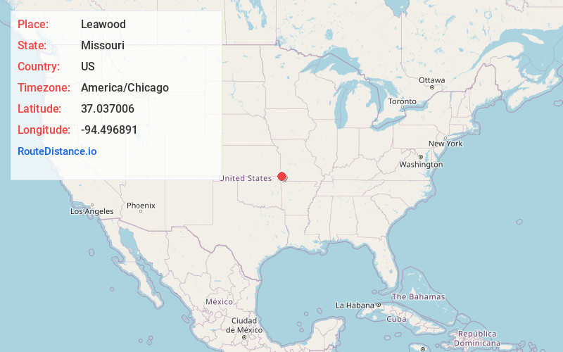
Full AddressLeawood, MO 64804
-
Coordinates37.037006, -94.4968907
-
LocationLeawood , Missouri , US
-
TimezoneAmerica/Chicago
-
Current Local Time12:17:44 PM America/ChicagoTuesday, June 24, 2025
-
Website
-
Page Views0
About Leawood
Leawood is a village in Newton County, Missouri, United States. The population was 682 at the 2010 census. It is part of the Joplin, Missouri Metropolitan Statistical Area.
Nearby Places
Found 10 places within 50 miles

Duquesne
3.4 mi
5.5 km
Duquesne, MO
Get directions

Joplin
3.5 mi
5.6 km
Joplin, MO
Get directions
Duenweg
5.6 mi
9.0 km
Duenweg, MO
Get directions
Loma Linda
5.9 mi
9.5 km
Loma Linda, MO
Get directions

Webb City
7.8 mi
12.6 km
Webb City, MO
Get directions

Carterville
8.3 mi
13.4 km
Carterville, MO 64835
Get directions

Galena
8.3 mi
13.4 km
Galena, KS 66739
Get directions

Carl Junction
10.4 mi
16.7 km
Carl Junction, MO
Get directions

Diamond
10.4 mi
16.7 km
Diamond, MO 64840
Get directions

Oronogo
10.6 mi
17.1 km
Oronogo, MO
Get directions
Location Links
Local Weather
Weather Information
Coming soon!
Location Map
Static map view of Leawood, Missouri
Browse Places by Distance
Places within specific distances from Leawood
Short Distances
Long Distances
Click any distance to see all places within that range from Leawood. Distances shown in miles (1 mile ≈ 1.61 kilometers).