Distance to Lecanto, Florida

Calculating Your Route
Just a moment while we process your request...
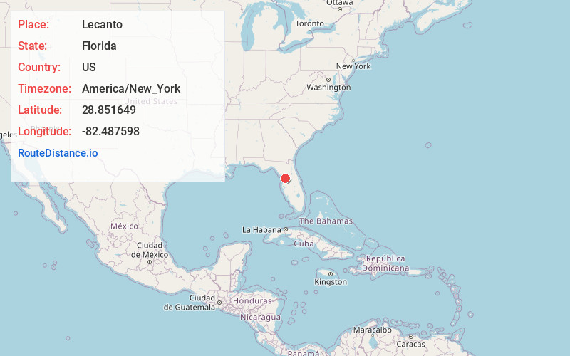
Location Information
-
Full AddressLecanto, FL
-
Coordinates28.8516486, -82.4875981
-
LocationLecanto , Florida , US
-
TimezoneAmerica/New_York
-
Current Local Time4:49:14 AM America/New_YorkThursday, June 5, 2025
-
Page Views0
About Lecanto
Lecanto is an unincorporated community and census-designated place in Citrus County, Florida, United States. As of the 2020 census it had a population of 6,301, up from 5,882 at the 2010 census. It is part of the Homosassa Springs, Florida Metropolitan Statistical Area.


Nearby Places
Found 10 places within 50 miles

Citrus Hills
4.2 mi
6.8 km
Citrus Hills, FL
Get directions

Beverly Hills
4.8 mi
7.7 km
Beverly Hills, FL 34465
Get directions

Pine Ridge
6.0 mi
9.7 km
Pine Ridge, FL
Get directions

Hernando
7.6 mi
12.2 km
Hernando, FL
Get directions

Inverness
9.5 mi
15.3 km
Inverness, FL
Get directions

Citrus Springs
10.1 mi
16.3 km
Citrus Springs, FL
Get directions

Marion Oaks
21.3 mi
34.3 km
Marion Oaks, FL
Get directions

Brooksville
21.4 mi
34.4 km
Brooksville, FL
Get directions

North Weeki Wachee
21.6 mi
34.8 km
North Weeki Wachee, FL
Get directions

Spring Hill
25.6 mi
41.2 km
Spring Hill, FL
Get directions
Location Links
Local Weather
Weather Information
Coming soon!
Location Map
Static map view of Lecanto, Florida
Browse Places by Distance
Places within specific distances from Lecanto
Short Distances
Long Distances
Click any distance to see all places within that range from Lecanto. Distances shown in miles (1 mile ≈ 1.61 kilometers).