Distance to Ledoux, Louisiana

Calculating Your Route
Just a moment while we process your request...
Location Information
-
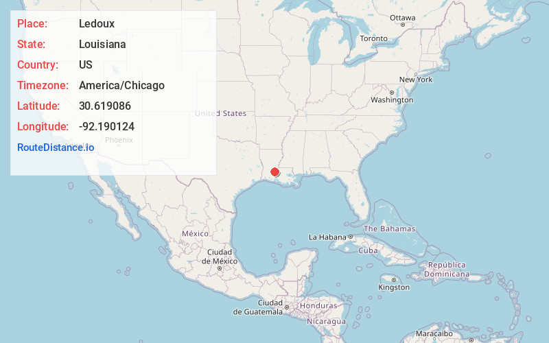
Full AddressLedoux, LA 70570
-
Coordinates30.6190861, -92.1901237
-
LocationLouisiana , US
-
TimezoneAmerica/Chicago
-
Current Local Time1:12:41 PM America/ChicagoTuesday, June 24, 2025
-
Page Views0
Nearby Places
Found 10 places within 50 miles

Prairie Ronde
2.9 mi
4.7 km
Prairie Ronde, LA 70570
Get directions
Belair Cove
3.0 mi
4.8 km
Belair Cove, LA 70586
Get directions
Faubourg
6.7 mi
10.8 km
Faubourg, LA 70589
Get directions
Point Blue
6.7 mi
10.8 km
Point Blue, LA 70586
Get directions

Ville Platte
6.8 mi
10.9 km
Ville Platte, LA 70586
Get directions

Lawtell
7.0 mi
11.3 km
Lawtell, LA 70570
Get directions

Washington
7.9 mi
12.7 km
Washington, LA 70589
Get directions
Swords
8.5 mi
13.7 km
Swords, LA 70570
Get directions
Chataignier
8.6 mi
13.8 km
Chataignier, LA 70586
Get directions

Opelousas
8.8 mi
14.2 km
Opelousas, LA 70570
Get directions
Location Links
Local Weather
Weather Information
Coming soon!
Location Map
Static map view of Ledoux, Louisiana
Browse Places by Distance
Places within specific distances from Ledoux
Short Distances
Long Distances
Click any distance to see all places within that range from Ledoux. Distances shown in miles (1 mile ≈ 1.61 kilometers).