Distance to Lees Creek, Ohio

Calculating Your Route
Just a moment while we process your request...
Location Information
-
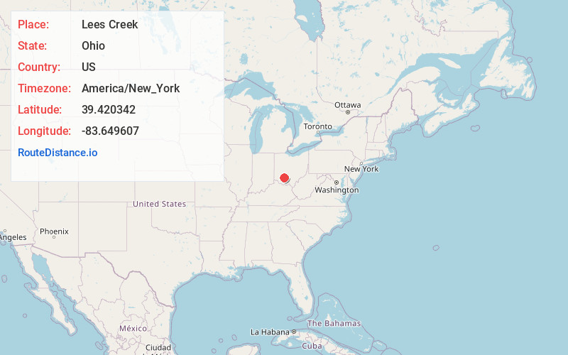
Full AddressLees Creek, OH
-
Coordinates39.4203419, -83.6496073
-
LocationLees Creek , Ohio , US
-
TimezoneAmerica/New_York
-
Current Local Time5:17:57 PM America/New_YorkFriday, June 20, 2025
-
Page Views0
About Lees Creek
Lees Creek, also known as Centerville, is an unincorporated community in central Wayne Township, Clinton County, Ohio, United States. It lies at the intersection of State Route 729 with Cox Road, 6 miles south of Sabina and 12 miles southeast of Wilmington, the county seat of Clinton County.
Nearby Places
Found 10 places within 50 miles

Sabina
4.8 mi
7.7 km
Sabina, OH 45169
Get directions

Highland
5.9 mi
9.5 km
Highland, OH
Get directions

New Vienna
7.0 mi
11.3 km
New Vienna, OH 45159
Get directions

Leesburg
7.3 mi
11.7 km
Leesburg, OH 45135
Get directions

Wilmington
9.7 mi
15.6 km
Wilmington, OH 45177
Get directions
Martinsville
11.1 mi
17.9 km
Martinsville, OH 45146
Get directions

Port William
11.7 mi
18.8 km
Port William, OH
Get directions
Bowersville
11.8 mi
19.0 km
Bowersville, OH
Get directions
Milledgeville
12.6 mi
20.3 km
Milledgeville, OH
Get directions
Octa
13.6 mi
21.9 km
Octa, OH
Get directions
Location Links
Local Weather
Weather Information
Coming soon!
Location Map
Static map view of Lees Creek, Ohio
Browse Places by Distance
Places within specific distances from Lees Creek
Short Distances
Long Distances
Click any distance to see all places within that range from Lees Creek. Distances shown in miles (1 mile ≈ 1.61 kilometers).