Distance to Octa, Ohio

Calculating Your Route
Just a moment while we process your request...
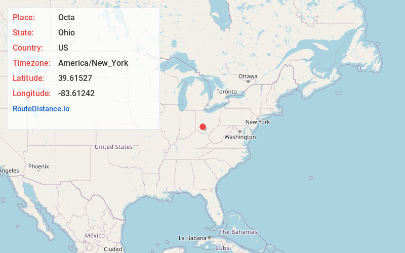
Location Information
-
Full AddressOcta, OH
-
Coordinates39.6152701, -83.61242
-
LocationOcta , Ohio , US
-
TimezoneAmerica/New_York
-
Current Local Time8:55:24 AM America/New_YorkSunday, May 25, 2025
-
Page Views0
About Octa
Octa is a village in Fayette County, Ohio, United States, along Rattlesnake Creek. The population was 58 at the 2020 census.
Nearby Places
Found 10 places within 50 miles

Milledgeville
1.8 mi
2.9 km
Milledgeville, OH
Get directions

Jeffersonville
3.7 mi
6.0 km
Jeffersonville, OH
Get directions
Bowersville
6.4 mi
10.3 km
Bowersville, OH
Get directions
Jamestown
7.2 mi
11.6 km
Jamestown, OH 45335
Get directions
South Solon
8.5 mi
13.7 km
South Solon, OH 43153
Get directions

Sabina
8.8 mi
14.2 km
Sabina, OH 45169
Get directions

Port William
10.2 mi
16.4 km
Port William, OH
Get directions

Washington Court House
10.8 mi
17.4 km
Washington Court House, OH 43160
Get directions
Midway
10.9 mi
17.5 km
Midway, OH
Get directions
Bloomingburg
11.6 mi
18.7 km
Bloomingburg, OH 43106
Get directions
Location Links
Local Weather
Weather Information
Coming soon!
Location Map
Static map view of Octa, Ohio
Browse Places by Distance
Places within specific distances from Octa
Short Distances
Long Distances
Click any distance to see all places within that range from Octa. Distances shown in miles (1 mile ≈ 1.61 kilometers).