Distance to Lees Station, Tennessee

Calculating Your Route
Just a moment while we process your request...
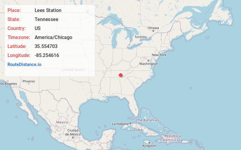
Location Information
-
Full AddressLees Station, TN 37367
-
Coordinates35.554703, -85.254616
-
LocationLees Station , Tennessee , US
-
TimezoneAmerica/Chicago
-
Current Local Time7:03:38 AM America/ChicagoFriday, May 30, 2025
-
Page Views0
About Lees Station
Lees Station is an unincorporated community in Bledsoe County, Tennessee. It lies along U.S. Route 127 southwest of the city of Pikeville, the county seat of Bledsoe County.
Nearby Places
Found 10 places within 50 miles

Griffith
3.3 mi
5.3 km
Griffith, TN 37367
Get directions

Bledsoe County
3.6 mi
5.8 km
Bledsoe County, TN
Get directions
Lusk
4.3 mi
6.9 km
Lusk, TN 37327
Get directions
Brockdell
4.3 mi
6.9 km
Brockdell, TN 37367
Get directions

Pikeville
5.1 mi
8.2 km
Pikeville, TN 37367
Get directions
West End
5.3 mi
8.5 km
West End, TN 37367
Get directions
Dill
5.8 mi
9.3 km
Dill, TN 37367
Get directions
Brayton
6.4 mi
10.3 km
Brayton, TN 37338
Get directions
Tiptop
6.5 mi
10.5 km
Tiptop, TN 37367
Get directions
Old Cumberland
6.6 mi
10.6 km
Old Cumberland, TN 37367
Get directions
Location Links
Local Weather
Weather Information
Coming soon!
Location Map
Static map view of Lees Station, Tennessee
Browse Places by Distance
Places within specific distances from Lees Station
Short Distances
Long Distances
Click any distance to see all places within that range from Lees Station. Distances shown in miles (1 mile ≈ 1.61 kilometers).