Distance to Leesville, Ohio

Calculating Your Route
Just a moment while we process your request...
Location Information
-
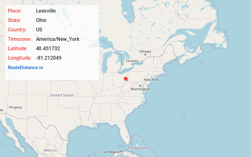
Full AddressLeesville, OH 44695
-
Coordinates40.4517317, -81.2120494
-
LocationLeesville , Ohio , US
-
TimezoneAmerica/New_York
-
Current Local Time11:01:31 PM America/New_YorkWednesday, June 18, 2025
-
Page Views0
About Leesville
Leesville is a village in southwestern Carroll County, Ohio, United States. The population was 127 at the 2020 census. It is part of the Canton–Massillon metropolitan area.
Nearby Places
Found 10 places within 50 miles

Bowerston
2.2 mi
3.5 km
Bowerston, OH 44695
Get directions
Sherrodsville
3.4 mi
5.5 km
Sherrodsville, OH 44675
Get directions
Dennison
7.1 mi
11.4 km
Dennison, OH 44621
Get directions
Scio
7.7 mi
12.4 km
Scio, OH
Get directions

Uhrichsville
8.1 mi
13.0 km
Uhrichsville, OH 44683
Get directions
Barnhill
8.3 mi
13.4 km
Barnhill, OH
Get directions
Midvale
8.5 mi
13.7 km
Midvale, OH
Get directions

Carrollton
10.7 mi
17.2 km
Carrollton, OH 44615
Get directions
Tuscarawas
11.0 mi
17.7 km
Tuscarawas, OH
Get directions
Jewett
12.3 mi
19.8 km
Jewett, OH 43986
Get directions
Location Links
Local Weather
Weather Information
Coming soon!
Location Map
Static map view of Leesville, Ohio
Browse Places by Distance
Places within specific distances from Leesville
Short Distances
Long Distances
Click any distance to see all places within that range from Leesville. Distances shown in miles (1 mile ≈ 1.61 kilometers).