Distance to Leetown, Arkansas

Calculating Your Route
Just a moment while we process your request...
Location Information
-
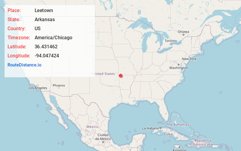
Full AddressLeetown, AR 72732
-
Coordinates36.431462, -94.0474243
-
LocationLeetown , Arkansas , US
-
TimezoneAmerica/Chicago
-
Current Local Time7:25:13 PM America/ChicagoWednesday, July 2, 2025
-
Page Views0
About Leetown
Leetown, also known as Lee Town, was a historic village in Benton County, Arkansas, United States. The first day of the Battle of Pea Ridge was fought around Leetown.
Nearby Places
Found 10 places within 50 miles

Brightwater
1.1 mi
1.8 km
Brightwater, AR 72732
Get directions
Elkhorn Tavern
2.3 mi
3.7 km
Elkhorn Tavern, AR 72732
Get directions

Avoca
2.5 mi
4.0 km
Avoca, AR 72756
Get directions

Pea Ridge
4.1 mi
6.6 km
Pea Ridge, AR
Get directions

Garfield
4.4 mi
7.1 km
Garfield, AR 72732
Get directions

Prairie Creek
6.2 mi
10.0 km
Prairie Creek, AR 72756
Get directions

Little Flock
6.3 mi
10.1 km
Little Flock, AR
Get directions
Jacket
6.4 mi
10.3 km
Jacket, Mountain Township, MO 64856
Get directions
Beacon Addition
7.3 mi
11.7 km
Beacon Addition, AR 72756
Get directions
Gateway
7.6 mi
12.2 km
Gateway, AR
Get directions
Location Links
Local Weather
Weather Information
Coming soon!
Location Map
Static map view of Leetown, Arkansas
Browse Places by Distance
Places within specific distances from Leetown
Short Distances
Long Distances
Click any distance to see all places within that range from Leetown. Distances shown in miles (1 mile ≈ 1.61 kilometers).