Distance to Leeville, Tennessee

Calculating Your Route
Just a moment while we process your request...
Location Information
-
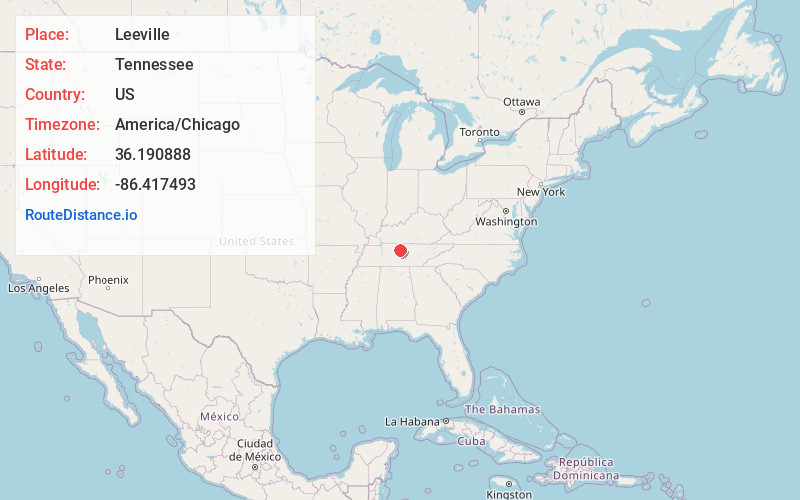
Full AddressLeeville, TN 37090
-
Coordinates36.1908884, -86.4174929
-
LocationTennessee , US
-
TimezoneAmerica/Chicago
-
Current Local Time5:51:11 AM America/ChicagoTuesday, June 24, 2025
-
Page Views0
Nearby Places
Found 10 places within 50 miles

Silver Springs
2.0 mi
3.2 km
Silver Springs, TN 37122
Get directions
Beckwith
2.6 mi
4.2 km
Beckwith, Mt. Juliet, TN 37122
Get directions
Martha
2.7 mi
4.3 km
Martha, Lebanon, TN 37090
Get directions
Cairo Bend
3.5 mi
5.6 km
Cairo Bend, Lebanon, TN 37087
Get directions
Maple Hill
4.3 mi
6.9 km
Maple Hill, Lebanon, TN 37087
Get directions
Gladeville
5.4 mi
8.7 km
Gladeville, TN
Get directions

Mt. Juliet
5.7 mi
9.2 km
Mt. Juliet, TN
Get directions
Holloway
6.4 mi
10.3 km
Holloway, TN 37090
Get directions
Suggs Creek
6.6 mi
10.6 km
Suggs Creek, TN 37122
Get directions

Lebanon
7.1 mi
11.4 km
Lebanon, TN
Get directions
Location Links
Local Weather
Weather Information
Coming soon!
Location Map
Static map view of Leeville, Tennessee
Browse Places by Distance
Places within specific distances from Leeville
Short Distances
Long Distances
Click any distance to see all places within that range from Leeville. Distances shown in miles (1 mile ≈ 1.61 kilometers).