Distance to Lehigh, Alabama

Calculating Your Route
Just a moment while we process your request...
Location Information
-
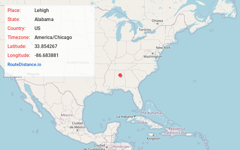
Full AddressLehigh, AL 35172
-
Coordinates33.8542668, -86.683881
-
LocationAlabama , US
-
TimezoneAmerica/Chicago
-
Current Local Time1:25:47 AM America/ChicagoTuesday, July 1, 2025
-
Page Views0
Nearby Places
Found 10 places within 50 miles

Selfville
1.9 mi
3.1 km
Selfville, AL 35172
Get directions
County Line
3.0 mi
4.8 km
County Line, AL 35172
Get directions
Adville
3.0 mi
4.8 km
Adville, AL 35172
Get directions
Wallstown
3.2 mi
5.1 km
Wallstown, AL 35079
Get directions
Nyota
3.5 mi
5.6 km
Nyota, AL 35180
Get directions
Kiowa
3.9 mi
6.3 km
Kiowa, AL 35133
Get directions

Trafford
4.2 mi
6.8 km
Trafford, AL
Get directions
Harkness Crossroads
4.7 mi
7.6 km
Harkness Crossroads, AL 35079
Get directions
Hayden
5.0 mi
8.0 km
Hayden, AL
Get directions

Locust Fork
5.4 mi
8.7 km
Locust Fork, AL
Get directions
Location Links
Local Weather
Weather Information
Coming soon!
Location Map
Static map view of Lehigh, Alabama
Browse Places by Distance
Places within specific distances from Lehigh
Short Distances
Long Distances
Click any distance to see all places within that range from Lehigh. Distances shown in miles (1 mile ≈ 1.61 kilometers).