Distance to Locust Fork, Alabama

Calculating Your Route
Just a moment while we process your request...
Location Information
-
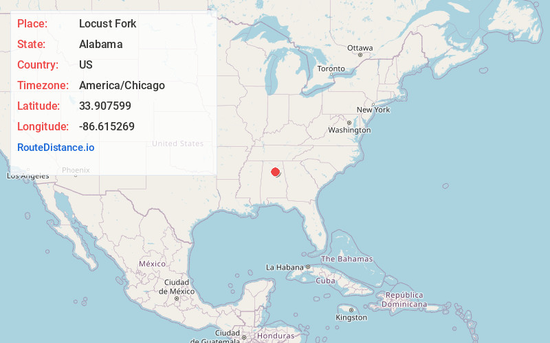
Full AddressLocust Fork, AL
-
Coordinates33.9075992, -86.6152685
-
LocationLocust Fork , Alabama , US
-
TimezoneAmerica/Chicago
-
Current Local Time11:21:43 PM America/ChicagoSunday, June 22, 2025
-
Page Views0
About Locust Fork
Locust Fork is a town in Blount County, Alabama, United States. At the 2010 census the population was 1,186 people, up from 1,016 in 2000.


Nearby Places
Found 10 places within 50 miles

Remlap
6.3 mi
10.1 km
Remlap, AL
Get directions

Hayden
8.2 mi
13.2 km
Hayden, AL
Get directions

Oneonta
8.6 mi
13.8 km
Oneonta, AL
Get directions
Smoke Rise
11.8 mi
19.0 km
Smoke Rise, AL 35180
Get directions

Blountsville
12.1 mi
19.5 km
Blountsville, AL 35031
Get directions

Springville
12.3 mi
19.8 km
Springville, AL
Get directions

Warrior
12.9 mi
20.8 km
Warrior, AL
Get directions

Hanceville
13.7 mi
22.0 km
Hanceville, AL 35077
Get directions

Clay
14.2 mi
22.9 km
Clay, AL
Get directions

Kimberly
14.7 mi
23.7 km
Kimberly, AL
Get directions
Location Links
Local Weather
Weather Information
Coming soon!
Location Map
Static map view of Locust Fork, Alabama
Browse Places by Distance
Places within specific distances from Locust Fork
Short Distances
Long Distances
Click any distance to see all places within that range from Locust Fork. Distances shown in miles (1 mile ≈ 1.61 kilometers).