Distance to Leidy Township, Pennsylvania

Calculating Your Route
Just a moment while we process your request...
Location Information
-
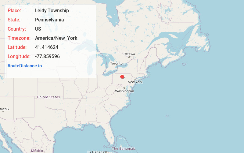
Full AddressLeidy Township, PA
-
Coordinates41.4146242, -77.8595963
-
LocationLeidy Township , Pennsylvania , US
-
TimezoneAmerica/New_York
-
Current Local Time12:56:10 PM America/New_YorkSunday, June 1, 2025
-
Page Views0
About Leidy Township
Leidy Township is a township that is located in Clinton County, Pennsylvania, United States. The population was 155 at the time of the 2020 census, down from 180 in 2010.
Kettle Creek State Park is located in Leidy Township.


Nearby Places
Found 10 places within 50 miles

Tamarack
0.9 mi
1.4 km
Tamarack, Leidy Township, PA 17764
Get directions
Leidy
3.3 mi
5.3 km
Leidy, PA 17764
Get directions
Hammersley Fork
3.4 mi
5.5 km
Hammersley Fork, Leidy Township, PA 17764
Get directions
Cross Fork
5.3 mi
8.5 km
Cross Fork, PA 17729
Get directions
Gravel Lick
7.3 mi
11.7 km
Gravel Lick, Stewardson Township, PA 17729
Get directions
Lushbaugh Run
7.9 mi
12.7 km
Lushbaugh Run, Pennsylvania
Get directions
Westport
7.9 mi
12.7 km
Westport, PA
Get directions
Bitumen
8.0 mi
12.9 km
Bitumen, PA 17778
Get directions
Shintown
8.0 mi
12.9 km
Shintown, PA 17764
Get directions
West Renovo
8.0 mi
12.9 km
West Renovo, PA 17764
Get directions
Location Links
Local Weather
Weather Information
Coming soon!
Location Map
Static map view of Leidy Township, Pennsylvania
Browse Places by Distance
Places within specific distances from Leidy Township
Short Distances
Long Distances
Click any distance to see all places within that range from Leidy Township. Distances shown in miles (1 mile ≈ 1.61 kilometers).