Distance to Leith-Hatfield, Pennsylvania

Calculating Your Route
Just a moment while we process your request...
Location Information
-
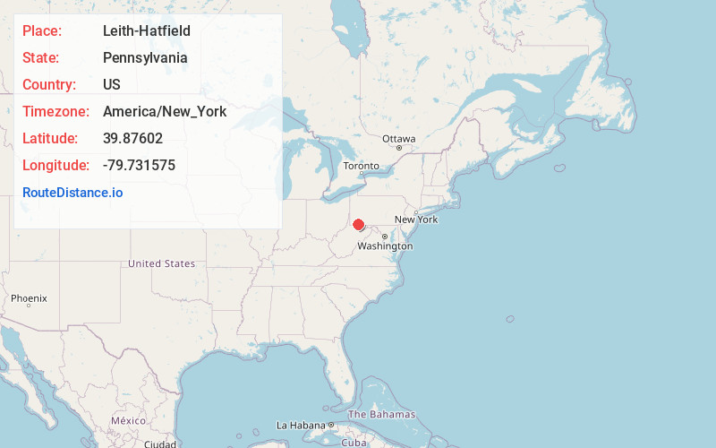
Full AddressLeith-Hatfield, PA 15401
-
Coordinates39.8760197, -79.7315747
-
LocationLeith-Hatfield , Pennsylvania , US
-
TimezoneAmerica/New_York
-
Current Local Time8:09:56 PM America/New_YorkTuesday, July 1, 2025
-
Page Views0
About Leith-Hatfield
Leith-Hatfield is a census-designated place in Fayette County, Pennsylvania, United States. The population was 2,546 at the 2010 census, down from 2,820 at the 2000 census. The twin villages of Leith and Hatfield are located in South Union Township.
Nearby Places
Found 10 places within 50 miles

South Uniontown
1.5 mi
2.4 km
South Uniontown, PA 15401
Get directions

Uniontown
1.8 mi
2.9 km
Uniontown, PA 15401
Get directions
Collier
3.1 mi
5.0 km
Collier, Georges Township, PA 15401
Get directions

North Union Township
3.9 mi
6.3 km
North Union Township, PA
Get directions

Fayette County
5.6 mi
9.0 km
Fayette County, PA
Get directions
Menallen Township
6.2 mi
10.0 km
Menallen Township, PA
Get directions
German Township
6.4 mi
10.3 km
German Township, PA
Get directions

Smithfield
6.5 mi
10.5 km
Smithfield, PA 15478
Get directions
Redstone Township
8.9 mi
14.3 km
Redstone Township, PA
Get directions

Masontown
9.1 mi
14.6 km
Masontown, PA 15461
Get directions
Location Links
Local Weather
Weather Information
Coming soon!
Location Map
Static map view of Leith-Hatfield, Pennsylvania
Browse Places by Distance
Places within specific distances from Leith-Hatfield
Short Distances
Long Distances
Click any distance to see all places within that range from Leith-Hatfield. Distances shown in miles (1 mile ≈ 1.61 kilometers).