Distance to Leithtown, Virginia

Calculating Your Route
Just a moment while we process your request...
Location Information
-
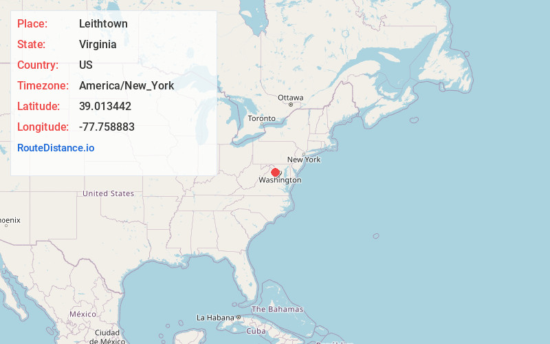
Full AddressLeithtown, VA 20117
-
Coordinates39.0134418, -77.7588834
-
LocationVirginia , US
-
TimezoneAmerica/New_York
-
Current Local Time6:04:13 PM America/New_YorkSaturday, June 14, 2025
-
Page Views0
About Leithtown
Leithtown is an unincorporated village in Loudoun County, Virginia. Leithtown lies to the west of Goose Creek at the crossroads of Foxcroft, Pot House, and Mountville roads. It is the home of the Foxcroft School and saw cavalry action in the Battle of Middleburg and Battle of Upperville in 1863.
Nearby Places
Found 10 places within 50 miles

Philomont
3.1 mi
5.0 km
Philomont, VA 20132
Get directions

Middleburg
3.3 mi
5.3 km
Middleburg, VA 20117
Get directions
Atoka
3.8 mi
6.1 km
Atoka, VA 20115
Get directions
Willisville
4.1 mi
6.6 km
Willisville, VA 20184
Get directions
North Fork
4.7 mi
7.6 km
North Fork, VA 20132
Get directions
Lakeland
5.0 mi
8.0 km
Lakeland, VA 20115
Get directions
Stoke
5.6 mi
9.0 km
Stoke, VA 20117
Get directions
Silcott Spring
6.2 mi
10.0 km
Silcott Spring, VA 20132
Get directions
Zulla
6.4 mi
10.3 km
Zulla, VA 20198
Get directions

Aldie
6.8 mi
10.9 km
Aldie, VA 20105
Get directions
Location Links
Local Weather
Weather Information
Coming soon!
Location Map
Static map view of Leithtown, Virginia
Browse Places by Distance
Places within specific distances from Leithtown
Short Distances
Long Distances
Click any distance to see all places within that range from Leithtown. Distances shown in miles (1 mile ≈ 1.61 kilometers).