Distance to Silcott Spring, Virginia

Calculating Your Route
Just a moment while we process your request...
Location Information
-
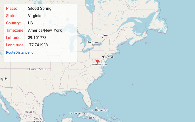
Full AddressSilcott Spring, VA 20132
-
Coordinates39.1017727, -77.7419382
-
LocationVirginia , US
-
TimezoneAmerica/New_York
-
Current Local Time1:37:18 PM America/New_YorkWednesday, June 18, 2025
-
Page Views0
About Silcott Spring
Silcott Spring is an unincorporated community in Loudoun County, Virginia. Silcott Spring lies to the south of the North Fork Catoctin Creek at the crossroads of Paxson and Silcott Spring Roads.
Nearby Places
Found 10 places within 50 miles

Telegraph Spring
1.8 mi
2.9 km
Telegraph Spring, VA 20132
Get directions

Round Hill
2.6 mi
4.2 km
Round Hill, VA 20141
Get directions
Lincoln
2.7 mi
4.3 km
Lincoln, VA 20132
Get directions

Purcellville
2.8 mi
4.5 km
Purcellville, VA 20132
Get directions

Hamilton
4.8 mi
7.7 km
Hamilton, VA 20158
Get directions

Raven Rocks
5.6 mi
9.0 km
Raven Rocks, West Virginia 20135
Get directions

Woodburn
6.6 mi
10.6 km
Woodburn, VA 20175
Get directions

Hillsboro
6.8 mi
10.9 km
Hillsboro, VA 20132
Get directions
Wheatland
7.1 mi
11.4 km
Wheatland, VA 20132
Get directions
Willisville
8.2 mi
13.2 km
Willisville, VA 20184
Get directions
Location Links
Local Weather
Weather Information
Coming soon!
Location Map
Static map view of Silcott Spring, Virginia
Browse Places by Distance
Places within specific distances from Silcott Spring
Short Distances
Long Distances
Click any distance to see all places within that range from Silcott Spring. Distances shown in miles (1 mile ≈ 1.61 kilometers).