Distance to Woodburn, Virginia

Calculating Your Route
Just a moment while we process your request...
Location Information
-
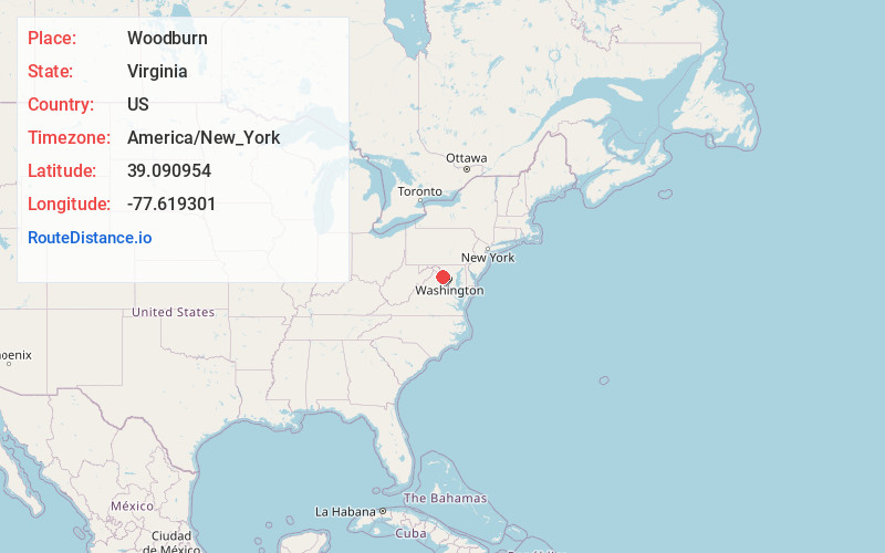
Full AddressWoodburn, VA 20175
-
Coordinates39.090954, -77.6193009
-
LocationWoodburn , Virginia , US
-
TimezoneAmerica/New_York
-
Current Local Time7:49:36 AM America/New_YorkMonday, June 2, 2025
-
Page Views0
About Woodburn
Woodburn is an unincorporated community in Loudoun County, Virginia. The village is located on Hogback Mountain southwest of Leesburg. Woodburn Road, which runs between Dry Mill and Harmony Church Roads, is all that is left to mark the existence and location of the community.


Nearby Places
Found 10 places within 50 miles

Leesburg
3.4 mi
5.5 km
Leesburg, VA
Get directions

Broadlands
7.3 mi
11.7 km
Broadlands, VA
Get directions

Lansdowne
7.5 mi
12.1 km
Lansdowne, VA
Get directions

Ashburn
7.8 mi
12.6 km
Ashburn, VA
Get directions

Brambleton
9.1 mi
14.6 km
Brambleton, VA
Get directions

Sterling
11.7 mi
18.8 km
Sterling, VA
Get directions

Stone Ridge
11.8 mi
19.0 km
Stone Ridge, VA
Get directions

Sugarland Run
13.8 mi
22.2 km
Sugarland Run, VA 20164
Get directions

South Riding
14.0 mi
22.5 km
South Riding, VA 20152
Get directions
Lowes Island
14.5 mi
23.3 km
Lowes Island, VA 20165
Get directions
Location Links
Local Weather
Weather Information
Coming soon!
Location Map
Static map view of Woodburn, Virginia
Browse Places by Distance
Places within specific distances from Woodburn
Short Distances
Long Distances
Click any distance to see all places within that range from Woodburn. Distances shown in miles (1 mile ≈ 1.61 kilometers).