Distance to Leland, Utah
Location Information
-
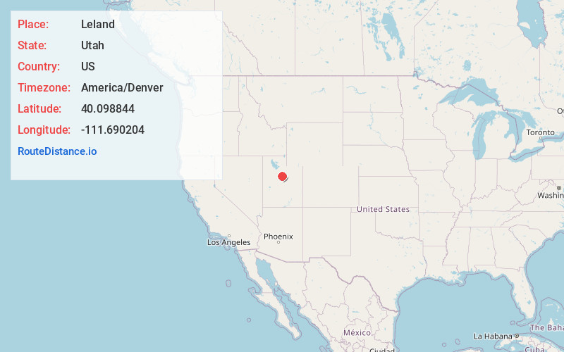
Full AddressLeland, Benjamin, UT 84660
-
Coordinates40.0988436, -111.6902036
-
NeighborhoodLeland
-
LocationBenjamin , Utah , US
-
TimezoneAmerica/Denver
-
Current Local Time5:56:09 PM America/DenverFriday, May 16, 2025
-
Page Views0
About Leland
Leland is an unincorporated community in southern Utah County, Utah, United States. Its elevation is 4,564 feet. Formerly a separate settlement, it has been largely absorbed into the city of Spanish Fork, with most of the rest being included in the boundaries of Benjamin.
Nearby Places
Found 10 places within 50 miles

Lewis
1.2 mi
1.9 km
Lewis, Benjamin, UT 84660
Get directions

Spanish Fork
2.2 mi
3.5 km
Spanish Fork, UT 84660
Get directions

Benjamin
2.2 mi
3.5 km
Benjamin, UT 84660
Get directions

Lake Shore
2.7 mi
4.3 km
Lake Shore, UT 84660
Get directions
Palmyra
2.9 mi
4.7 km
Palmyra, UT 84660
Get directions

Salem
3.3 mi
5.3 km
Salem, UT
Get directions

Payson
4.4 mi
7.1 km
Payson, UT
Get directions
Sutro
4.9 mi
7.9 km
Sutro, Spanish Fork, UT 84660
Get directions

Hobble Creek
5.7 mi
9.2 km
Hobble Creek, Springville, UT 84660
Get directions

West Mountain
5.9 mi
9.5 km
West Mountain, UT
Get directions
Location Links
Local Weather
Weather Information
Coming soon!
Location Map
Static map view of Leland, Utah
Browse Places by Distance
Places within specific distances from Leland
Short Distances
Long Distances
Click any distance to see all places within that range from Leland. Distances shown in miles (1 mile ≈ 1.61 kilometers).