Distance to Leland, Michigan

Calculating Your Route
Just a moment while we process your request...
Location Information
-
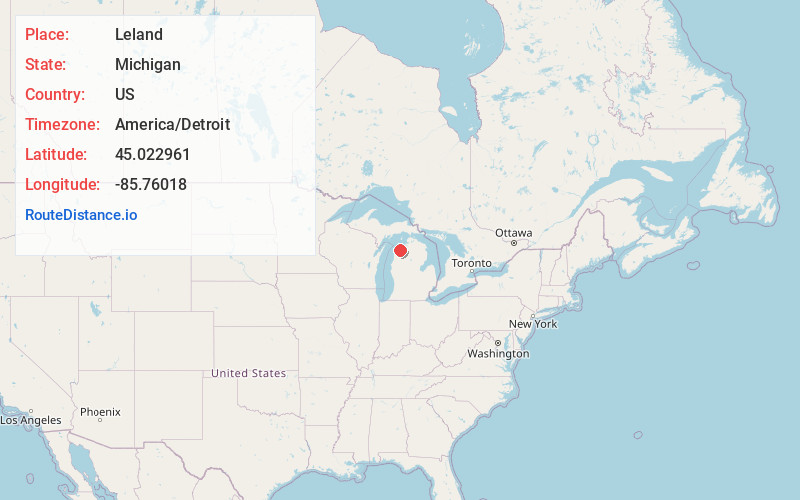
Full AddressLeland, MI 49654
-
Coordinates45.0229612, -85.7601797
-
LocationLeland , Michigan , US
-
TimezoneAmerica/Detroit
-
Current Local Time6:07:15 PM America/DetroitFriday, June 6, 2025
-
Page Views0
About Leland
Leland is an unincorporated community and census-designated place in the U.S. state of Michigan. It is located in Leelanau County, part of the northwestern Lower Peninsula of the state. As of the 2020 census it had a population of 410.


Nearby Places
Found 10 places within 50 miles

Suttons Bay
6.2 mi
10.0 km
Suttons Bay, MI 49682
Get directions

Northport
10.3 mi
16.6 km
Northport, MI 49670
Get directions

Greilickville
17.0 mi
27.4 km
Greilickville, MI
Get directions

Elk Rapids
19.0 mi
30.6 km
Elk Rapids, MI 49629
Get directions

Traverse City
19.2 mi
30.9 km
Traverse City, MI
Get directions

Empire
20.7 mi
33.3 km
Empire, MI 49630
Get directions
Hardwood Acres
21.0 mi
33.8 km
Hardwood Acres, MI
Get directions

Lake Ann
21.1 mi
34.0 km
Lake Ann, MI 49650
Get directions

Central Lake
24.4 mi
39.3 km
Central Lake, MI 49622
Get directions

Grawn
25.1 mi
40.4 km
Grawn, MI
Get directions
Location Links
Local Weather
Weather Information
Coming soon!
Location Map
Static map view of Leland, Michigan
Browse Places by Distance
Places within specific distances from Leland
Short Distances
Long Distances
Click any distance to see all places within that range from Leland. Distances shown in miles (1 mile ≈ 1.61 kilometers).