Distance to Lelia Lake, Texas

Calculating Your Route
Just a moment while we process your request...
Location Information
-
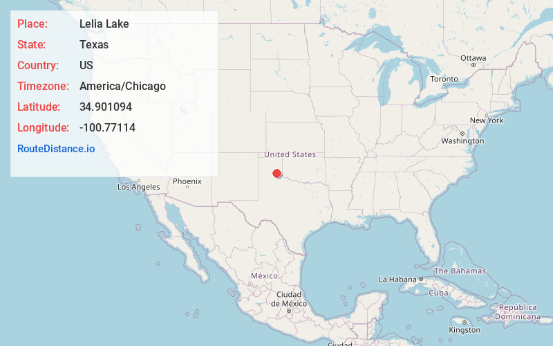
Full AddressLelia Lake, TX
-
Coordinates34.9010937, -100.7711398
-
LocationLelia Lake , Texas , US
-
TimezoneAmerica/Chicago
-
Current Local Time7:00:59 AM America/ChicagoTuesday, June 17, 2025
-
Page Views0
About Lelia Lake
Lelia Lake is an unincorporated community in central Donley County, Texas, United States. It lies along U.S. Route 287, southeast of the city of Clarendon, the county seat of Donley County.


Nearby Places
Found 10 places within 50 miles

Hedley
6.7 mi
10.8 km
Hedley, TX 79237
Get directions

Clarendon
7.1 mi
11.4 km
Clarendon, TX 79226
Get directions

Howardwick
12.1 mi
19.5 km
Howardwick, TX 79226
Get directions

Lakeview
16.2 mi
26.1 km
Lakeview, TX 79239
Get directions

Memphis
18.1 mi
29.1 km
Memphis, TX 79245
Get directions

McLean
24.9 mi
40.1 km
McLean, TX 79057
Get directions

Groom
28.2 mi
45.4 km
Groom, TX 79039
Get directions

Wellington
31.7 mi
51.0 km
Wellington, TX 79095
Get directions

Turkey
35.9 mi
57.8 km
Turkey, TX 79261
Get directions

Claude
36.6 mi
58.9 km
Claude, TX 79019
Get directions
Location Links
Local Weather
Weather Information
Coming soon!
Location Map
Static map view of Lelia Lake, Texas
Browse Places by Distance
Places within specific distances from Lelia Lake
Short Distances
Long Distances
Click any distance to see all places within that range from Lelia Lake. Distances shown in miles (1 mile ≈ 1.61 kilometers).