Distance to Leliaetta, Oklahoma

Calculating Your Route
Just a moment while we process your request...
Location Information
-
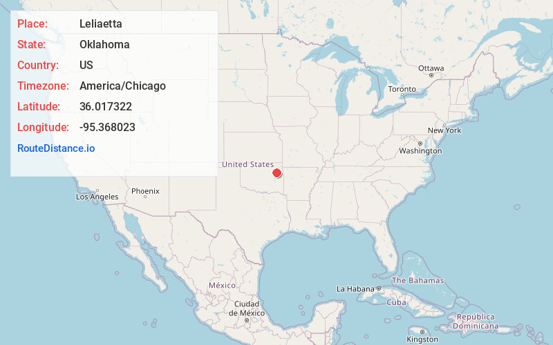
Full AddressLeliaetta, OK 74467
-
Coordinates36.0173218, -95.3680226
-
LocationOklahoma , US
-
TimezoneAmerica/Chicago
-
Current Local Time3:04:26 AM America/ChicagoThursday, May 22, 2025
-
Page Views0
Nearby Places
Found 10 places within 50 miles

Wagoner
4.0 mi
6.4 km
Wagoner, OK 74467
Get directions

Toppers
4.6 mi
7.4 km
Toppers, OK 74467
Get directions
Yonkers
6.5 mi
10.5 km
Yonkers, OK 74352
Get directions
Mazie
8.8 mi
14.2 km
Mazie, OK 74337
Get directions

Pin Oak Acres
9.4 mi
15.1 km
Pin Oak Acres, OK 74337
Get directions
Murphy
11.3 mi
18.2 km
Murphy, OK 74352
Get directions

Chouteau
11.7 mi
18.8 km
Chouteau, OK 74337
Get directions

Okay
11.8 mi
19.0 km
Okay, OK
Get directions

Inola
12.2 mi
19.6 km
Inola, OK
Get directions
Mallard Bay
12.4 mi
20.0 km
Mallard Bay, OK 74467
Get directions
Location Links
Local Weather
Weather Information
Coming soon!
Location Map
Static map view of Leliaetta, Oklahoma
Browse Places by Distance
Places within specific distances from Leliaetta
Short Distances
Long Distances
Click any distance to see all places within that range from Leliaetta. Distances shown in miles (1 mile ≈ 1.61 kilometers).