Distance to Lemhi, Idaho

Calculating Your Route
Just a moment while we process your request...
Location Information
-
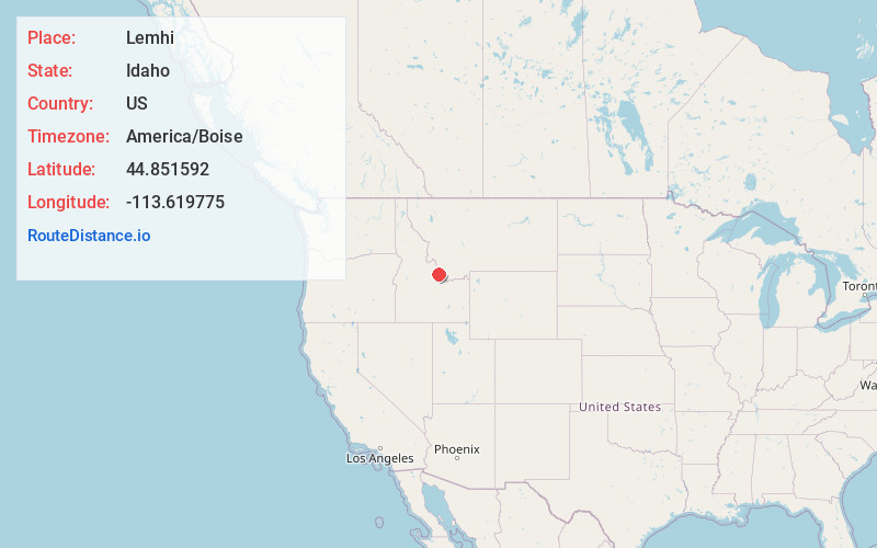
Full AddressLemhi, ID 83465
-
Coordinates44.8515919, -113.6197747
-
LocationLemhi , Idaho , US
-
TimezoneAmerica/Boise
-
Current Local Time11:21:41 AM America/BoiseFriday, June 13, 2025
-
Page Views0
About Lemhi
Lemhi is an unincorporated place in Lemhi County, Idaho, United States. Lemhi is located along Idaho State Highway 28 and the Lemhi River, 8 miles south of Tendoy and 18 miles northwest of Leadore. Lemhi consists of a combined general store and post office and a house. The post office services ZIP code 83465.
Nearby Places
Found 10 places within 50 miles

Leadore
17.5 mi
28.2 km
Leadore, ID 83464
Get directions

Leadville
18.3 mi
29.5 km
Leadville, ID 83464
Get directions

May
22.3 mi
35.9 km
May, ID 83253
Get directions
Patterson
23.1 mi
37.2 km
Patterson, ID 83253
Get directions
Ellis
23.7 mi
38.1 km
Ellis, ID 83235
Get directions

Salmon
26.1 mi
42.0 km
Salmon, ID 83467
Get directions
Grant
29.1 mi
46.8 km
Grant, MT 59725
Get directions

Gilmore
32.1 mi
51.7 km
Gilmore, ID 83464
Get directions
Cobalt
34.5 mi
55.5 km
Cobalt, ID 83469
Get directions
Leesburg
35.2 mi
56.6 km
Leesburg, ID 83469
Get directions
Location Links
Local Weather
Weather Information
Coming soon!
Location Map
Static map view of Lemhi, Idaho
Browse Places by Distance
Places within specific distances from Lemhi
Short Distances
Long Distances
Click any distance to see all places within that range from Lemhi. Distances shown in miles (1 mile ≈ 1.61 kilometers).