Distance to Lemitar, New Mexico

Calculating Your Route
Just a moment while we process your request...
Location Information
-
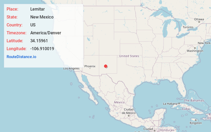
Full AddressLemitar, NM 87823
-
Coordinates34.1596096, -106.9100192
-
LocationLemitar , New Mexico , US
-
TimezoneAmerica/Denver
-
Current Local Time2:51:48 PM America/DenverThursday, June 19, 2025
-
Page Views0
About Lemitar
Lemitar is a census-designated place in Socorro County, New Mexico, United States. Its population was 330 as of the 2010 census. Lemitar has a post office with ZIP code 87823. Exit 156 on Interstate 25 serves the community.

Nearby Places
Found 10 places within 50 miles

Polvadera
3.2 mi
5.1 km
Polvadera, NM
Get directions

Socorro
7.1 mi
11.4 km
Socorro, NM 87801
Get directions

Magdalena
19.3 mi
31.1 km
Magdalena, NM 87825
Get directions

Jarales
32.4 mi
52.1 km
Jarales, NM
Get directions

Rio Communities
35.3 mi
56.8 km
Rio Communities, NM 87002
Get directions

Adelino
39.3 mi
63.2 km
Adelino, NM
Get directions
Los Chavez
40.8 mi
65.7 km
Los Chavez, NM
Get directions
El Cerro Mission
45.0 mi
72.4 km
El Cerro Mission, NM 87031
Get directions

Mountainair
45.6 mi
73.4 km
Mountainair, NM 87036
Get directions

Los Lunas
45.8 mi
73.7 km
Los Lunas, NM 87031
Get directions
Location Links
Local Weather
Weather Information
Coming soon!
Location Map
Static map view of Lemitar, New Mexico
Browse Places by Distance
Places within specific distances from Lemitar
Short Distances
Long Distances
Click any distance to see all places within that range from Lemitar. Distances shown in miles (1 mile ≈ 1.61 kilometers).