Distance to Lennon, Michigan

Calculating Your Route
Just a moment while we process your request...
Location Information
-
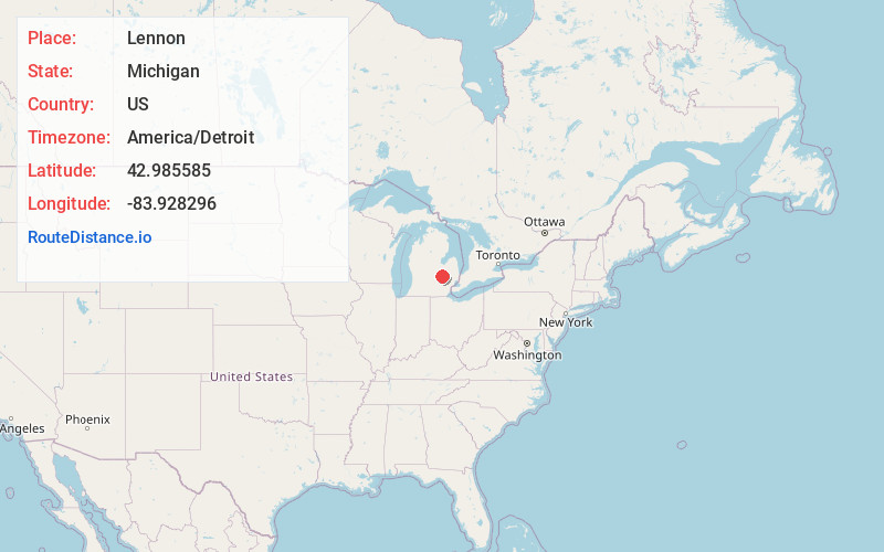
Full AddressLennon, MI 48449
-
Coordinates42.985585, -83.9282955
-
LocationLennon , Michigan , US
-
TimezoneAmerica/Detroit
-
Current Local Time4:11:43 AM America/DetroitThursday, June 19, 2025
-
Page Views0
About Lennon
Lennon is a village in the U.S. state of Michigan. The population was 511 at the 2010 census. The village is located along M-13 within Venice Township in Shiawassee County to the west and Clayton Township in Genesee County to the east.
Nearby Places
Found 10 places within 50 miles

Swartz Creek
5.3 mi
8.5 km
Swartz Creek, MI
Get directions

Durand
5.8 mi
9.3 km
Durand, MI 48429
Get directions

Vernon
6.0 mi
9.7 km
Vernon, MI
Get directions

Flushing
6.6 mi
10.6 km
Flushing, MI 48433
Get directions

Gaines
7.8 mi
12.6 km
Gaines, MI 48436
Get directions

New Lothrop
9.3 mi
15.0 km
New Lothrop, MI 48460
Get directions

Corunna
9.6 mi
15.4 km
Corunna, MI
Get directions

Bancroft
10.1 mi
16.3 km
Bancroft, MI 48414
Get directions
Middletown
11.1 mi
17.9 km
Middletown, MI
Get directions

Byron
11.3 mi
18.2 km
Byron, MI 48418
Get directions
Location Links
Local Weather
Weather Information
Coming soon!
Location Map
Static map view of Lennon, Michigan
Browse Places by Distance
Places within specific distances from Lennon
Short Distances
Long Distances
Click any distance to see all places within that range from Lennon. Distances shown in miles (1 mile ≈ 1.61 kilometers).