Distance to and from Lenox, Kentucky
Lenox, KY 41472
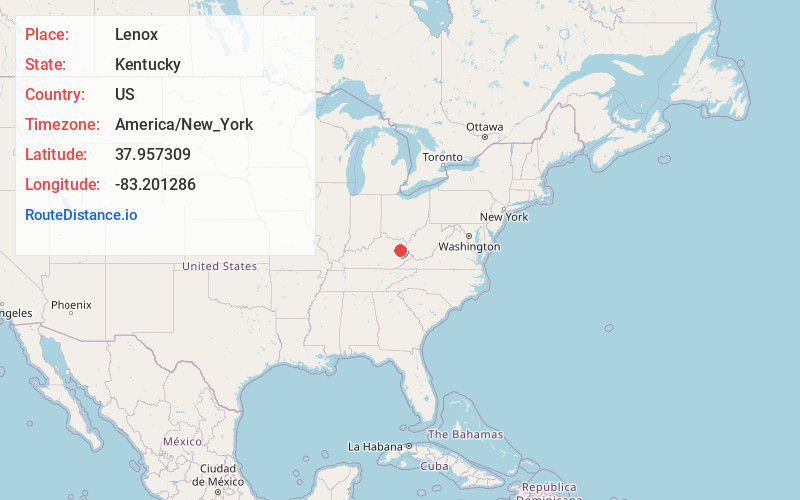
Lenox
Kentucky
US
America/New_York
Location Information
-
Full AddressLenox, KY 41472
-
Coordinates37.957309, -83.201286
-
LocationLenox , Kentucky , US
-
TimezoneAmerica/New_York
-
Current Local Time12:00:49 AM America/New_YorkMonday, May 5, 2025
-
Page Views0
Directions to Nearest Cities
About Lenox
Lenox is an unincorporated community and coal town in Morgan County, Kentucky, United States. It lies along Route 172, northeast of the city of West Liberty, the county seat of Morgan County. Its elevation is 797 feet.
Nearby Places
Found 10 places within 50 miles

Elamton
3.6 mi
5.8 km
Elamton, KY 41472
Get directions
Elkfork
3.8 mi
6.1 km
Elkfork, KY 41472
Get directions

West Liberty
4.0 mi
6.4 km
West Liberty, KY 41472
Get directions
Redwine
4.3 mi
6.9 km
Redwine, KY 41472
Get directions
Cottle
4.7 mi
7.6 km
Cottle, KY 41472
Get directions
Gordon Ford
5.5 mi
8.9 km
Gordon Ford, KY 41472
Get directions
Jeptha
5.6 mi
9.0 km
Jeptha, KY 41472
Get directions
Wrigley
5.7 mi
9.2 km
Wrigley, KY 41472
Get directions
Bascom
6.1 mi
9.8 km
Bascom, KY 41171
Get directions
Liberty Rd
6.1 mi
9.8 km
Liberty Rd, West Liberty, KY 41472
Get directions
Elamton
3.6 mi
5.8 km
Elamton, KY 41472
Elkfork
3.8 mi
6.1 km
Elkfork, KY 41472
West Liberty
4.0 mi
6.4 km
West Liberty, KY 41472
Redwine
4.3 mi
6.9 km
Redwine, KY 41472
Cottle
4.7 mi
7.6 km
Cottle, KY 41472
Gordon Ford
5.5 mi
8.9 km
Gordon Ford, KY 41472
Jeptha
5.6 mi
9.0 km
Jeptha, KY 41472
Wrigley
5.7 mi
9.2 km
Wrigley, KY 41472
Bascom
6.1 mi
9.8 km
Bascom, KY 41171
Liberty Rd
6.1 mi
9.8 km
Liberty Rd, West Liberty, KY 41472
Location Links
Local Weather
Weather Information
Coming soon!
Location Map
Static map view of Lenox, Kentucky
Browse Places by Distance
Places within specific distances from Lenox
Short Distances
Long Distances
Click any distance to see all places within that range from Lenox. Distances shown in miles (1 mile ≈ 1.61 kilometers).