Distance to Cottle, Kentucky

Calculating Your Route
Just a moment while we process your request...
Location Information
-
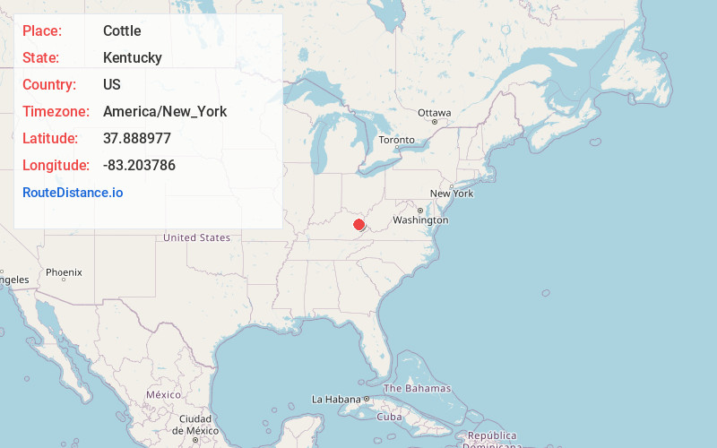
Full AddressCottle, KY 41472
-
Coordinates37.8889769, -83.2037862
-
LocationCottle , Kentucky , US
-
TimezoneAmerica/New_York
-
Current Local Time6:48:54 PM America/New_YorkTuesday, June 24, 2025
-
Page Views0
About Cottle
Cottle is an unincorporated community in Morgan County, Kentucky, United States. It lies along U.S. Route 460 southeast of the city of West Liberty, the county seat of Morgan County. Its elevation is 801 feet.
A post office was established in the community in 1931, which was named for Joseph Cottle, an early settler.
Nearby Places
Found 10 places within 50 miles

Gordon Ford
1.9 mi
3.1 km
Gordon Ford, KY 41472
Get directions
White Oak
2.1 mi
3.4 km
White Oak, KY 41472
Get directions

West Liberty
3.8 mi
6.1 km
West Liberty, KY 41472
Get directions
Holliday
5.5 mi
8.9 km
Holliday, KY 41472
Get directions
Dingus
5.7 mi
9.2 km
Dingus, KY 41472
Get directions
Caney
6.8 mi
10.9 km
Caney, KY 41472
Get directions
Plutarch
7.2 mi
11.6 km
Plutarch, KY 41465
Get directions
Nickell
7.7 mi
12.4 km
Nickell, KY 41352
Get directions
Lykins
7.7 mi
12.4 km
Lykins, KY 41472
Get directions
Cannel City
7.8 mi
12.6 km
Cannel City, KY 41408
Get directions
Location Links
Local Weather
Weather Information
Coming soon!
Location Map
Static map view of Cottle, Kentucky
Browse Places by Distance
Places within specific distances from Cottle
Short Distances
Long Distances
Click any distance to see all places within that range from Cottle. Distances shown in miles (1 mile ≈ 1.61 kilometers).