Distance to Caney, Kentucky

Calculating Your Route
Just a moment while we process your request...
Location Information
-
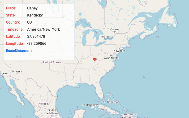
Full AddressCaney, KY 41472
-
Coordinates37.8014781, -83.2590662
-
LocationCaney , Kentucky , US
-
TimezoneAmerica/New_York
-
Current Local Time12:28:30 AM America/New_YorkTuesday, June 10, 2025
-
Page Views0
About Caney
Caney is an unincorporated community and coal town in Morgan County, Kentucky, United States. It lies along Route 191 south of the city of West Liberty, the county seat of Morgan County. Its elevation is 869 feet.
Nearby Places
Found 10 places within 50 miles

Cannel City
1.1 mi
1.8 km
Cannel City, KY 41408
Get directions
Payton
2.2 mi
3.5 km
Payton, KY 41352
Get directions
Sellars
4.4 mi
7.1 km
Sellars, KY 41352
Get directions
White Oak
5.0 mi
8.0 km
White Oak, KY 41472
Get directions
Helechawa
5.0 mi
8.0 km
Helechawa, KY 41332
Get directions
Rosefork
8.1 mi
13.0 km
Rosefork, KY 41301
Get directions

West Liberty
8.3 mi
13.4 km
West Liberty, KY 41472
Get directions
Hazel Green
8.6 mi
13.8 km
Hazel Green, KY 41332
Get directions
Bonny
9.3 mi
15.0 km
Bonny, KY 41425
Get directions
Hendricks
10.0 mi
16.1 km
Hendricks, KY 41465
Get directions
Location Links
Local Weather
Weather Information
Coming soon!
Location Map
Static map view of Caney, Kentucky
Browse Places by Distance
Places within specific distances from Caney
Short Distances
Long Distances
Click any distance to see all places within that range from Caney. Distances shown in miles (1 mile ≈ 1.61 kilometers).