Distance to Lykins, Kentucky

Calculating Your Route
Just a moment while we process your request...
Location Information
-
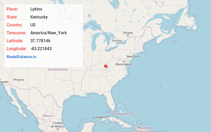
Full AddressLykins, KY 41472
-
Coordinates37.7781457, -83.2218426
-
LocationKentucky , US
-
TimezoneAmerica/New_York
-
Current Local Time4:08:34 AM America/New_YorkThursday, June 5, 2025
-
Page Views0
Nearby Places
Found 10 places within 50 miles

Bethanna
2.1 mi
3.4 km
Bethanna, KY 41465
Get directions
Holliday
2.3 mi
3.7 km
Holliday, KY 41472
Get directions
Netty
2.3 mi
3.7 km
Netty, KY 41472
Get directions
Caney
2.6 mi
4.2 km
Caney, KY 41472
Get directions
Cannel City
3.0 mi
4.8 km
Cannel City, KY 41408
Get directions
Cutuno
4.3 mi
6.9 km
Cutuno, KY 41332
Get directions
Payton
4.5 mi
7.2 km
Payton, KY 41352
Get directions
Elsie
4.7 mi
7.6 km
Elsie, KY 41465
Get directions
White Oak
5.7 mi
9.2 km
White Oak, KY 41472
Get directions
Dale
6.0 mi
9.7 km
Dale, KY 41339
Get directions
Location Links
Local Weather
Weather Information
Coming soon!
Location Map
Static map view of Lykins, Kentucky
Browse Places by Distance
Places within specific distances from Lykins
Short Distances
Long Distances
Click any distance to see all places within that range from Lykins. Distances shown in miles (1 mile ≈ 1.61 kilometers).