Distance to Leslie, Michigan

Calculating Your Route
Just a moment while we process your request...
Location Information
-
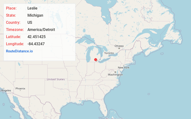
Full AddressLeslie, MI 49251
-
Coordinates42.4514252, -84.4324695
-
LocationLeslie , Michigan , US
-
TimezoneAmerica/Detroit
-
Current Local Time12:59:15 AM America/DetroitSunday, June 1, 2025
-
Page Views0
About Leslie
Leslie is a city in Ingham County in the U.S. state of Michigan. The population was 2,167 at the 2020 census. The city is surrounded by Leslie Township, but the two are administered autonomously.


Nearby Places
Found 10 places within 50 miles

Mason
8.8 mi
14.2 km
Mason, MI 48854
Get directions

Eaton Rapids
12.1 mi
19.5 km
Eaton Rapids, MI 48827
Get directions

Holt
13.7 mi
22.0 km
Holt, MI
Get directions

Jackson
14.3 mi
23.0 km
Jackson, MI
Get directions

Michigan Center
16.0 mi
25.7 km
Michigan Center, MI
Get directions

Vandercook Lake
17.8 mi
28.6 km
Vandercook Lake, MI
Get directions

Williamston
18.1 mi
29.1 km
Williamston, MI 48895
Get directions

Spring Arbor
18.1 mi
29.1 km
Spring Arbor, MI 49283
Get directions

Okemos
18.7 mi
30.1 km
Okemos, MI
Get directions

Potterville
19.9 mi
32.0 km
Potterville, MI
Get directions
Location Links
Local Weather
Weather Information
Coming soon!
Location Map
Static map view of Leslie, Michigan
Browse Places by Distance
Places within specific distances from Leslie
Short Distances
Long Distances
Click any distance to see all places within that range from Leslie. Distances shown in miles (1 mile ≈ 1.61 kilometers).