Distance to Letchworth State Park, New York

Calculating Your Route
Just a moment while we process your request...
Location Information
-
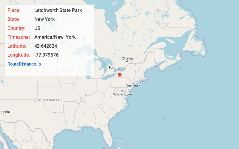
Full AddressLetchworth State Park, New York
-
Coordinates42.6428243, -77.9796755
-
LocationNew York , US
-
TimezoneAmerica/New_York
-
Current Local Time7:44:37 AM America/New_YorkSunday, June 22, 2025
-
Page Views0
About Letchworth State Park
Scenic waterfalls & cliffs in a massive park with 66 miles of hiking trails, river rafting & more.


Nearby Places
Found 10 places within 50 miles

Brooks Grove
2.8 mi
4.5 km
Brooks Grove, Mt Morris, NY 14517
Get directions

Castile
3.9 mi
6.3 km
Castile, NY 14427
Get directions
Oakland
4.5 mi
7.2 km
Oakland, Portage, NY 14517
Get directions

Perry
5.2 mi
8.4 km
Perry, NY 14530
Get directions

Middle Falls
5.2 mi
8.4 km
Middle Falls, Portage, NY 14846
Get directions
Silver Springs
5.5 mi
8.9 km
Silver Springs, NY 14550
Get directions
Portage
5.6 mi
9.0 km
Portage, NY
Get directions

Tuscarora
5.7 mi
9.2 km
Tuscarora, NY 14510
Get directions
Portageville
6.0 mi
9.7 km
Portageville, NY
Get directions

Genesee Falls
7.5 mi
12.1 km
Genesee Falls, NY
Get directions
Location Links
Local Weather
Weather Information
Coming soon!
Location Map
Static map view of Letchworth State Park, New York
Browse Places by Distance
Places within specific distances from Letchworth State Park
Short Distances
Long Distances
Click any distance to see all places within that range from Letchworth State Park. Distances shown in miles (1 mile ≈ 1.61 kilometers).