Distance to Portage, New York

Calculating Your Route
Just a moment while we process your request...
Location Information
-
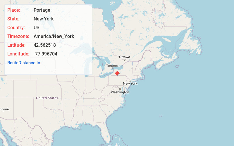
Full AddressPortage, NY
-
Coordinates42.5625182, -77.9967043
-
LocationPortage , New York , US
-
TimezoneAmerica/New_York
-
Current Local Time5:20:51 AM America/New_YorkWednesday, June 18, 2025
-
Page Views0
About Portage
Portage is a town in the southwest corner of Livingston County, New York, United States. The town is at the south end of Letchworth State Park. The name of the town stems from the need to portage canoes around the falls of the Genesee River. The population of Portage was 884 at the 2010 census.
Nearby Places
Found 10 places within 50 miles

Castile
5.5 mi
8.9 km
Castile, NY 14427
Get directions

Tuscarora
8.0 mi
12.9 km
Tuscarora, NY 14510
Get directions

Gainesville
8.8 mi
14.2 km
Gainesville, NY 14066
Get directions
Houghton
12.6 mi
20.3 km
Houghton, NY
Get directions

Mt Morris
12.9 mi
20.8 km
Mt Morris, NY 14510
Get directions
Groveland Station
13.5 mi
21.7 km
Groveland Station, NY
Get directions
Caneadea
14.6 mi
23.5 km
Caneadea, NY 14717
Get directions

Dansville
15.3 mi
24.6 km
Dansville, NY 14437
Get directions
Leicester
15.3 mi
24.6 km
Leicester, NY 14481
Get directions
North Dansville
15.7 mi
25.3 km
North Dansville, NY 14437
Get directions
Location Links
Local Weather
Weather Information
Coming soon!
Location Map
Static map view of Portage, New York
Browse Places by Distance
Places within specific distances from Portage
Short Distances
Long Distances
Click any distance to see all places within that range from Portage. Distances shown in miles (1 mile ≈ 1.61 kilometers).