Distance to Lewis, North Carolina

Calculating Your Route
Just a moment while we process your request...
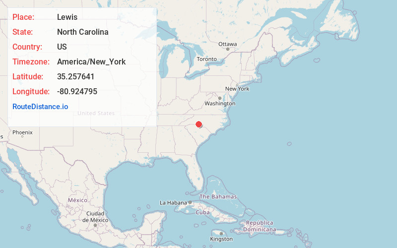
Location Information
-
Full AddressLewis, Charlotte, NC 28208
-
Coordinates35.2576407, -80.9247949
-
NeighborhoodToddville Road
-
LocationCharlotte , North Carolina , US
-
TimezoneAmerica/New_York
-
Current Local Time10:14:03 PM America/New_YorkWednesday, June 4, 2025
-
Page Views0
Nearby Places
Found 10 places within 50 miles

Charlotte
5.4 mi
8.7 km
Charlotte, NC
Get directions

Brown Town
5.5 mi
8.9 km
Brown Town, NC 28012
Get directions

Mt Holly
5.8 mi
9.3 km
Mt Holly, NC
Get directions

Belmont
6.4 mi
10.3 km
Belmont, NC
Get directions
Nims
7.0 mi
11.3 km
Nims, Mt Holly, NC 28120
Get directions
Lakewood
7.8 mi
12.6 km
Lakewood, Cramerton, NC 28012
Get directions
Springwood
7.9 mi
12.7 km
Springwood, NC 28012
Get directions

Cramerton
8.5 mi
13.7 km
Cramerton, NC
Get directions

McAdenville
8.5 mi
13.7 km
McAdenville, NC
Get directions

Lowell
9.9 mi
15.9 km
Lowell, NC
Get directions
Location Links
Local Weather
Weather Information
Coming soon!
Location Map
Static map view of Lewis, North Carolina
Browse Places by Distance
Places within specific distances from Lewis
Short Distances
Long Distances
Click any distance to see all places within that range from Lewis. Distances shown in miles (1 mile ≈ 1.61 kilometers).