Distance to Leyden, Colorado

Calculating Your Route
Just a moment while we process your request...
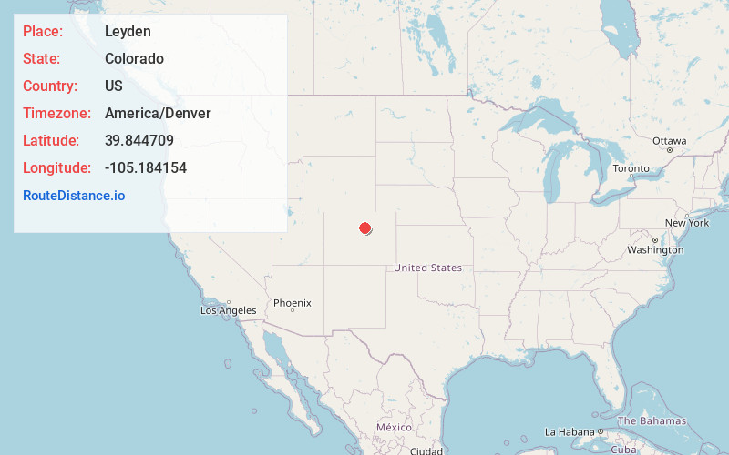
Location Information
-
Full AddressLeyden, Apple Meadows, CO 80007
-
Coordinates39.8447087, -105.1841539
-
NeighborhoodApple Meadows
-
LocationApple Meadows , Colorado , US
-
TimezoneAmerica/Denver
-
Current Local Time11:11:07 AM America/DenverSaturday, June 28, 2025
-
Page Views0
About Leyden
Leyden, Colorado, elevation 5,656 feet is a small unincorporated community in Jefferson County, Colorado west of Arvada at the junction of West 82nd Avenue and Quaker Street. It is a historic company town established by the Leyden Coal Company in 1902 to house the miners of the Leyden Coal Mine nearby to the west.
Nearby Places
Found 10 places within 50 miles

Arvada
5.9 mi
9.5 km
Arvada, CO
Get directions

Golden
6.5 mi
10.5 km
Golden, CO
Get directions

Broomfield
7.4 mi
11.9 km
Broomfield, CO
Get directions

Superior
7.5 mi
12.1 km
Superior, CO
Get directions

West Pleasant View
7.7 mi
12.4 km
West Pleasant View, CO 80401
Get directions

Eldorado Springs
7.8 mi
12.6 km
Eldorado Springs, CO
Get directions

Westminster
7.8 mi
12.6 km
Westminster, CO
Get directions

Wheat Ridge
7.9 mi
12.7 km
Wheat Ridge, CO
Get directions
Lakeside
8.1 mi
13.0 km
Lakeside, CO 80212
Get directions
East Pleasant View
8.2 mi
13.2 km
East Pleasant View, CO 80401
Get directions
Location Links
Local Weather
Weather Information
Coming soon!
Location Map
Static map view of Leyden, Colorado
Browse Places by Distance
Places within specific distances from Leyden
Short Distances
Long Distances
Click any distance to see all places within that range from Leyden. Distances shown in miles (1 mile ≈ 1.61 kilometers).