Distance to Liberty Grove, Texas

Calculating Your Route
Just a moment while we process your request...
Location Information
-
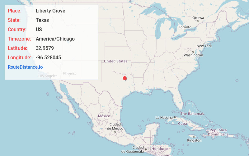
Full AddressLiberty Grove, TX 75098
-
Coordinates32.9578996, -96.5280451
-
LocationTexas , US
-
TimezoneAmerica/Chicago
-
Current Local Time5:35:39 PM America/ChicagoMonday, June 2, 2025
-
Page Views0
About Liberty Grove
Liberty Grove is an unincorporated community in Dallas County, Texas, United States. Liberty Grove was a small farming community at the junction of Farm to Market Road 1880 and a dirt thoroughfare, on Doctors Creek and the South Sulphur River, south of Cooper in south central Delta County.
Nearby Places
Found 10 places within 50 miles

Wylie
3.4 mi
5.5 km
Wylie, TX
Get directions

Sachse
4.1 mi
6.6 km
Sachse, TX
Get directions

Rowlett
4.3 mi
6.9 km
Rowlett, TX
Get directions

Rockwall
5.6 mi
9.0 km
Rockwall, TX
Get directions

St Paul
5.9 mi
9.5 km
St Paul, TX 75098
Get directions

Murphy
6.3 mi
10.1 km
Murphy, TX
Get directions

Garland
7.0 mi
11.3 km
Garland, TX
Get directions

Mobile City
7.2 mi
11.6 km
Mobile City, TX 75087
Get directions

Lavon
7.3 mi
11.7 km
Lavon, TX
Get directions

Fate
8.0 mi
12.9 km
Fate, TX
Get directions
Location Links
Local Weather
Weather Information
Coming soon!
Location Map
Static map view of Liberty Grove, Texas
Browse Places by Distance
Places within specific distances from Liberty Grove
Short Distances
Long Distances
Click any distance to see all places within that range from Liberty Grove. Distances shown in miles (1 mile ≈ 1.61 kilometers).