Distance to Licking Township, Indiana

Calculating Your Route
Just a moment while we process your request...
Location Information
-
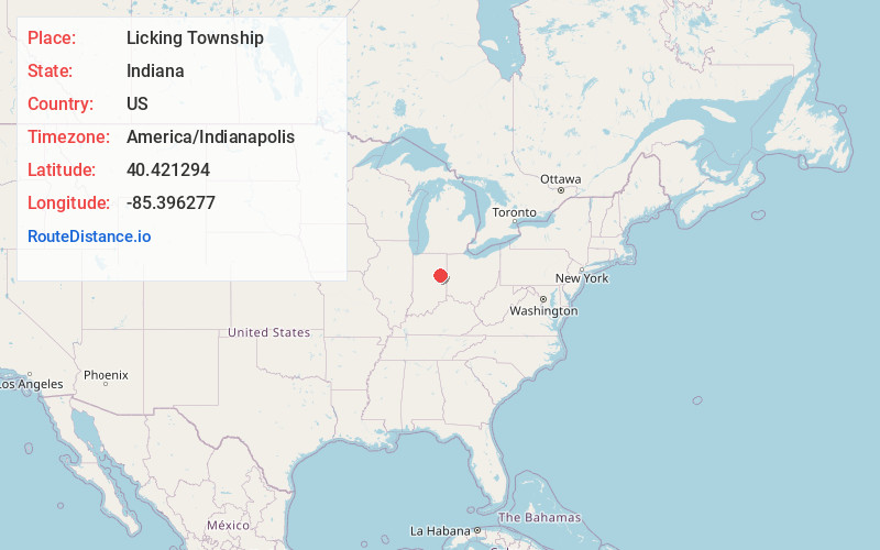
Full AddressLicking Township, IN
-
Coordinates40.4212936, -85.3962769
-
LocationLicking Township , Indiana , US
-
TimezoneAmerica/Indianapolis
-
Page Views0
About Licking Township
Licking Township is one of four townships in Blackford County, Indiana. As of the 2020 census, its population was 7,723 and it contained 3,784 housing units.
The township was named after Lick Creek and a salt lick in the area. The first settlers in what became Blackford County arrived in the Lick Creek area in 1831.


Nearby Places
Found 10 places within 50 miles

Shamrock Lakes
1.7 mi
2.7 km
Shamrock Lakes, IN 47348
Get directions

Hartford City
2.5 mi
4.0 km
Hartford City, IN 47348
Get directions
Hoover Park
2.9 mi
4.7 km
Hoover Park, Hartford City, IN 47348
Get directions
Renner
4.0 mi
6.4 km
Renner, IN 47348
Get directions

Wheeling
5.3 mi
8.5 km
Wheeling, IN 47303
Get directions

Matthews
5.9 mi
9.5 km
Matthews, IN
Get directions
Eaton
5.9 mi
9.5 km
Eaton, IN 47338
Get directions

Upland
6.4 mi
10.3 km
Upland, IN 46989
Get directions
Millgrove
6.4 mi
10.3 km
Millgrove, IN 47348
Get directions
Stockport
7.7 mi
12.4 km
Stockport, IN 47342
Get directions
Location Links
Local Weather
Weather Information
Coming soon!
Location Map
Static map view of Licking Township, Indiana
Browse Places by Distance
Places within specific distances from Licking Township
Short Distances
Long Distances
Click any distance to see all places within that range from Licking Township. Distances shown in miles (1 mile ≈ 1.61 kilometers).