Distance to Matthews, Indiana

Calculating Your Route
Just a moment while we process your request...
Location Information
-
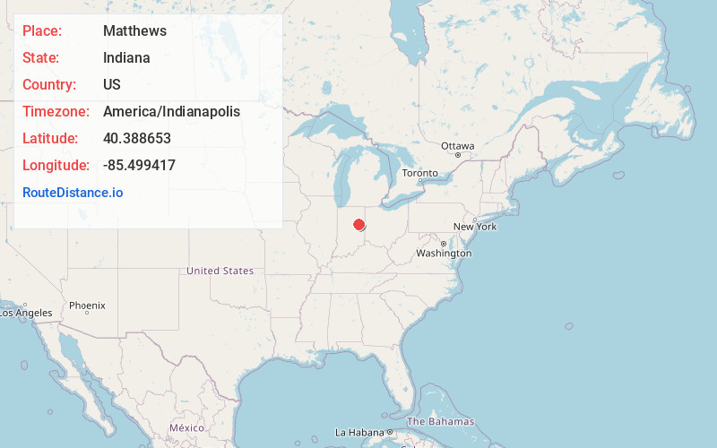
Full AddressMatthews, IN
-
Coordinates40.3886531, -85.4994167
-
LocationMatthews , Indiana , US
-
TimezoneAmerica/Indianapolis
-
Page Views0
About Matthews
Matthews is a town in Jefferson Township, Grant County, Indiana, United States, along the Mississinewa River. The population was 494 at the 2020 census.

Nearby Places
Found 10 places within 50 miles

Gaston
5.2 mi
8.4 km
Gaston, IN 47342
Get directions

Upland
6.0 mi
9.7 km
Upland, IN 46989
Get directions

Hartford City
8.1 mi
13.0 km
Hartford City, IN 47348
Get directions

Fairmount
8.2 mi
13.2 km
Fairmount, IN 46928
Get directions

Eaton
8.2 mi
13.2 km
Eaton, IN 47338
Get directions

Summitville
8.4 mi
13.5 km
Summitville, IN 46070
Get directions

Gas City
9.1 mi
14.6 km
Gas City, IN
Get directions

Jonesboro
9.2 mi
14.8 km
Jonesboro, IN
Get directions

Alexandria
12.7 mi
20.4 km
Alexandria, IN 46001
Get directions

Yorktown
14.4 mi
23.2 km
Yorktown, IN
Get directions
Location Links
Local Weather
Weather Information
Coming soon!
Location Map
Static map view of Matthews, Indiana
Browse Places by Distance
Places within specific distances from Matthews
Short Distances
Long Distances
Click any distance to see all places within that range from Matthews. Distances shown in miles (1 mile ≈ 1.61 kilometers).