Distance to Lighthouse Field State Beach, California

Calculating Your Route
Just a moment while we process your request...
Location Information
-
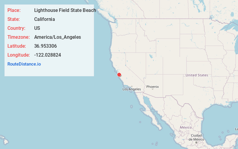
Full AddressLighthouse Field State Beach, Santa Cruz, CA 95060
-
Coordinates36.9533057, -122.0288237
-
LocationSanta Cruz , California , US
-
TimezoneAmerica/Los_Angeles
-
Current Local Time9:23:38 PM America/Los_AngelesSunday, June 22, 2025
-
Website
-
Page Views0
About Lighthouse Field State Beach
Iconic spot with a lighthouse offers a variety of vistas & pathways for dog walking & strolling.


Nearby Places
Found 10 places within 50 miles

Santa Cruz
1.4 mi
2.3 km
Santa Cruz, CA
Get directions

Twin Lakes State Beach
1.8 mi
2.9 km
Twin Lakes State Beach, California 95062
Get directions

Pleasure Point
3.6 mi
5.8 km
Pleasure Point, CA
Get directions

Paradise Park
3.6 mi
5.8 km
Paradise Park, CA 95060
Get directions

Capitola
4.4 mi
7.1 km
Capitola, CA
Get directions

Soquel
4.6 mi
7.4 km
Soquel, CA
Get directions

Gordola
6.0 mi
9.7 km
Gordola, CA 95060
Get directions

Henry Cowell Redwoods State Park
6.3 mi
10.1 km
Henry Cowell Redwoods State Park, Felton, CA 95018
Get directions

Majors
6.6 mi
10.6 km
Majors, CA 95060
Get directions

Mt Hermon
7.0 mi
11.3 km
Mt Hermon, CA
Get directions
Location Links
Local Weather
Weather Information
Coming soon!
Location Map
Static map view of Lighthouse Field State Beach, California
Browse Places by Distance
Places within specific distances from Lighthouse Field State Beach
Short Distances
Long Distances
Click any distance to see all places within that range from Lighthouse Field State Beach. Distances shown in miles (1 mile ≈ 1.61 kilometers).