Distance to Lignite, North Dakota

Calculating Your Route
Just a moment while we process your request...
Location Information
-
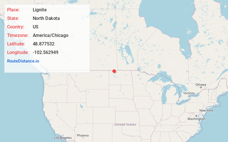
Full AddressLignite, ND 58752
-
Coordinates48.8775322, -102.5629489
-
LocationLignite , North Dakota , US
-
TimezoneAmerica/Chicago
-
Current Local Time3:46:57 PM America/ChicagoTuesday, July 1, 2025
-
Page Views0
About Lignite
Lignite is a city in Burke County, North Dakota, United States. The population was 141 at the 2020 census. Lignite was founded in 1907 and was named for the quantities of lignite, a low-grade coal, present in the area.

Nearby Places
Found 9 places within 50 miles

Bowbells
15.3 mi
24.6 km
Bowbells, ND 58721
Get directions
Powers Lake
22.1 mi
35.6 km
Powers Lake, ND 58773
Get directions

Kenmare
26.0 mi
41.8 km
Kenmare, ND 58746
Get directions

Crosby
33.3 mi
53.6 km
Crosby, ND 58730
Get directions

Tioga
37.3 mi
60.0 km
Tioga, ND 58852
Get directions

Stanley
39.5 mi
63.6 km
Stanley, ND 58784
Get directions
Sherwood
42.6 mi
68.6 km
Sherwood, ND 58782
Get directions

Ray
46.0 mi
74.0 km
Ray, ND 58849
Get directions
Mohall
48.4 mi
77.9 km
Mohall, ND 58761
Get directions
Location Links
Local Weather
Weather Information
Coming soon!
Location Map
Static map view of Lignite, North Dakota
Browse Places by Distance
Places within specific distances from Lignite
Short Distances
Long Distances
Click any distance to see all places within that range from Lignite. Distances shown in miles (1 mile ≈ 1.61 kilometers).