Distance to Lime, Oregon

Calculating Your Route
Just a moment while we process your request...
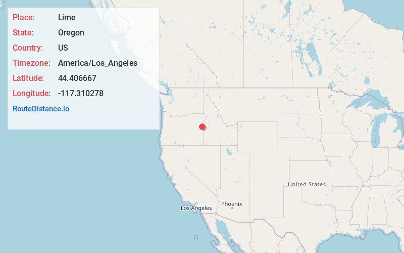
Location Information
-
Full AddressLime, OR 97907
-
Coordinates44.406667, -117.310278
-
LocationLime , Oregon , US
-
TimezoneAmerica/Los_Angeles
-
Current Local Time4:06:06 AM America/Los_AngelesTuesday, May 20, 2025
-
Page Views0
About Lime
Lime is an unincorporated community and ghost town in the northwest United States, located in Baker County, Oregon. Five miles north of Huntington on Interstate 84, it is near the confluence of Marble Creek and the Burnt River on the Union Pacific Railroad. The historic Oregon Trail passes through Lime.


Nearby Places
Found 10 places within 50 miles

Dixie
2.9 mi
4.7 km
Dixie, OR 97907
Get directions

Huntington
4.4 mi
7.1 km
Huntington, OR 97907
Get directions

Rye Valley Spring
8.1 mi
13.0 km
Rye Valley Spring, Oregon 97907
Get directions
Eaton
14.5 mi
23.3 km
Eaton, ID 83672
Get directions

Brogan
15.3 mi
24.6 km
Brogan, OR
Get directions
Jonathan
15.9 mi
25.6 km
Jonathan, ID 83672
Get directions

Jamieson
16.9 mi
27.2 km
Jamieson, OR 97909
Get directions
Clarksville
19.1 mi
30.7 km
Clarksville, OR 97819
Get directions
Annex
19.8 mi
31.9 km
Annex, OR 97914
Get directions

Weiser
20.0 mi
32.2 km
Weiser, ID 83672
Get directions
Location Links
Local Weather
Weather Information
Coming soon!
Location Map
Static map view of Lime, Oregon
Browse Places by Distance
Places within specific distances from Lime
Short Distances
Long Distances
Click any distance to see all places within that range from Lime. Distances shown in miles (1 mile ≈ 1.61 kilometers).