Distance to Lincoln County, Oklahoma

Calculating Your Route
Just a moment while we process your request...
Location Information
-
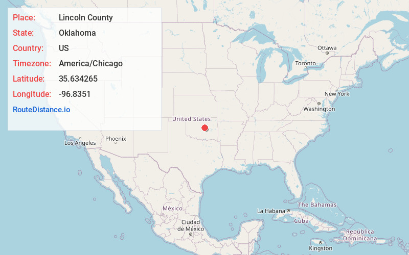
Full AddressLincoln County, OK
-
Coordinates35.6342646, -96.8350999
-
LocationOklahoma , US
-
TimezoneAmerica/Chicago
-
Current Local Time1:48:21 PM America/ChicagoTuesday, June 3, 2025
-
Page Views0
About Lincoln County
Lincoln County is a county in eastern Central Oklahoma. As of the 2020 census, the population was 33,458. Its county seat is Chandler. Lincoln County is part of the Oklahoma City, OK metropolitan statistical area. In 2010, the center of population of Oklahoma was in Lincoln County, near the town of Sparks.

Nearby Places
Found 10 places within 50 miles

Sparks
2.0 mi
3.2 km
Sparks, OK 74869
Get directions

Chandler
5.3 mi
8.5 km
Chandler, OK 74834
Get directions

Davenport
6.3 mi
10.1 km
Davenport, OK 74026
Get directions

Arlington
9.5 mi
15.3 km
Arlington, OK 74864
Get directions

Meeker
9.8 mi
15.8 km
Meeker, OK 74855
Get directions

Warwick
10.1 mi
16.3 km
Warwick, OK
Get directions

Kendrick
11.0 mi
17.7 km
Kendrick, OK 74079
Get directions

Gray Horse Creek
11.5 mi
18.5 km
Gray Horse Creek, Oklahoma 74079
Get directions

Stroud
12.7 mi
20.4 km
Stroud, OK
Get directions

Prague
13.2 mi
21.2 km
Prague, OK
Get directions
Location Links
Local Weather
Weather Information
Coming soon!
Location Map
Static map view of Lincoln County, Oklahoma
Browse Places by Distance
Places within specific distances from Lincoln County
Short Distances
Long Distances
Click any distance to see all places within that range from Lincoln County. Distances shown in miles (1 mile ≈ 1.61 kilometers).