Distance to and from Chandler, Oklahoma
Chandler, OK 74834
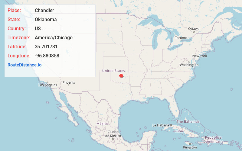
Chandler
Oklahoma
US
America/Chicago
Location Information
-
Full AddressChandler, OK 74834
-
Coordinates35.7017314, -96.8808582
-
LocationChandler , Oklahoma , US
-
TimezoneAmerica/Chicago
-
Current Local Time9:40:25 AM America/ChicagoMonday, May 5, 2025
-
Website
-
Page Views0
Directions to Nearest Cities
About Chandler
Chandler is a city in, and the county seat of, Lincoln County, Oklahoma, United States. and is part of the Oklahoma City Metropolitan Area. The population was 2,858 at the time of the 2020 census. Chandler is located northeast of Oklahoma City on SH-66 and I-44, and north of Shawnee on SH-18.


Nearby Places
Found 10 places within 50 miles

Cushing
20.6 mi
33.2 km
Cushing, OK 74023
Get directions

Perkins
20.7 mi
33.3 km
Perkins, OK 74059
Get directions

Harrah
21.6 mi
34.8 km
Harrah, OK
Get directions

McLoud
21.9 mi
35.2 km
McLoud, OK
Get directions

Jones
24.7 mi
39.8 km
Jones, OK
Get directions

Choctaw
26.0 mi
41.8 km
Choctaw, OK 73020
Get directions

Shawnee
26.0 mi
41.8 km
Shawnee, OK
Get directions

Bethel Acres
28.4 mi
45.7 km
Bethel Acres, OK
Get directions

Bristow
28.9 mi
46.5 km
Bristow, OK 74010
Get directions

Stillwater
30.3 mi
48.8 km
Stillwater, OK
Get directions
Cushing
20.6 mi
33.2 km
Cushing, OK 74023
Perkins
20.7 mi
33.3 km
Perkins, OK 74059
Harrah
21.6 mi
34.8 km
Harrah, OK
McLoud
21.9 mi
35.2 km
McLoud, OK
Jones
24.7 mi
39.8 km
Jones, OK
Choctaw
26.0 mi
41.8 km
Choctaw, OK 73020
Shawnee
26.0 mi
41.8 km
Shawnee, OK
Bethel Acres
28.4 mi
45.7 km
Bethel Acres, OK
Bristow
28.9 mi
46.5 km
Bristow, OK 74010
Stillwater
30.3 mi
48.8 km
Stillwater, OK
Location Links
Local Weather
Weather Information
Coming soon!
Location Map
Static map view of Chandler, Oklahoma
Browse Places by Distance
Places within specific distances from Chandler
Short Distances
Long Distances
Click any distance to see all places within that range from Chandler. Distances shown in miles (1 mile ≈ 1.61 kilometers).