Distance to Linden, Missouri

Calculating Your Route
Just a moment while we process your request...
Location Information
-
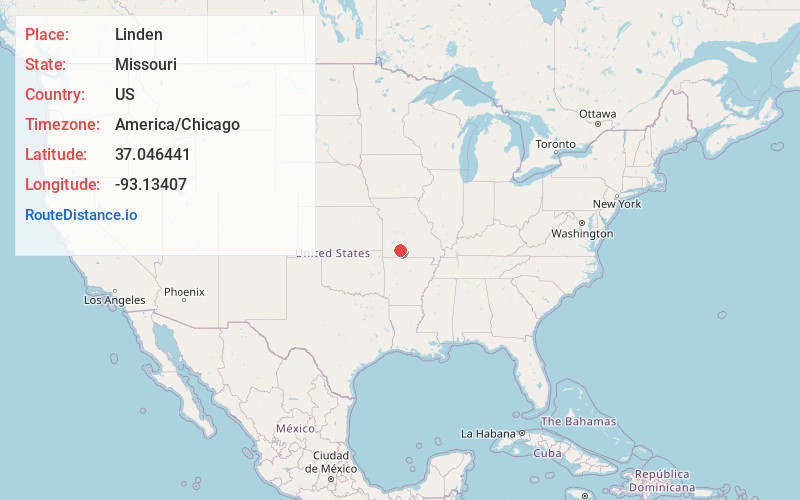
Full AddressLinden, MO 65742
-
Coordinates37.0464413, -93.1340697
-
LocationLinden , Missouri , US
-
TimezoneAmerica/Chicago
-
Current Local Time1:30:38 AM America/ChicagoTuesday, July 1, 2025
-
Page Views0
About Linden
Linden is an unincorporated community in northern Christian County, Missouri United States. It is located approximately 4.5 miles northwest of Sparta on Route 125, where the highway crosses the Finley Creek. The river has been dammed, creating a small lake, Lake Lindenlure, just east of Route 125.


Nearby Places
Found 10 places within 50 miles

Sparta
4.3 mi
6.9 km
Sparta, MO 65753
Get directions

Ozark
4.3 mi
6.9 km
Ozark, MO
Get directions

Shady Grove
5.0 mi
8.0 km
Shady Grove, MO 65753
Get directions
Fremont Hills
6.5 mi
10.5 km
Fremont Hills, MO 65714
Get directions

Rogersville
6.5 mi
10.5 km
Rogersville, MO 65742
Get directions
Cassidy Township
6.5 mi
10.5 km
Cassidy Township, MO
Get directions
Kissick
8.0 mi
12.9 km
Kissick, Springfield, MO 65804
Get directions

Bruner
8.5 mi
13.7 km
Bruner, MO
Get directions

Nixa
8.8 mi
14.2 km
Nixa, MO 65714
Get directions
Riverdale
9.3 mi
15.0 km
Riverdale, Garden Grove Township, MO 65714
Get directions
Location Links
Local Weather
Weather Information
Coming soon!
Location Map
Static map view of Linden, Missouri
Browse Places by Distance
Places within specific distances from Linden
Short Distances
Long Distances
Click any distance to see all places within that range from Linden. Distances shown in miles (1 mile ≈ 1.61 kilometers).