Distance to Bruner, Missouri

Calculating Your Route
Just a moment while we process your request...
Location Information
-
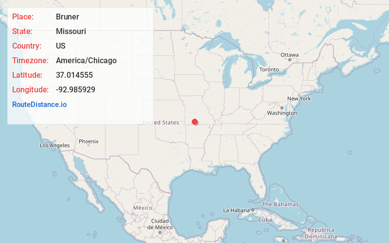
Full AddressBruner, MO
-
Coordinates37.0145546, -92.9859292
-
LocationBruner , Missouri , US
-
TimezoneAmerica/Chicago
-
Current Local Time9:20:08 AM America/ChicagoSaturday, June 21, 2025
-
Page Views0
About Bruner
Bruner is an unincorporated community in northeast Christian County, Missouri, United States. It is located approximately five miles east of Sparta and two miles west of Elkhead along Route 14.
Bruner is part of the Springfield, Missouri Metropolitan Statistical Area.


Nearby Places
Found 10 places within 50 miles

Abadyl
2.7 mi
4.3 km
Abadyl, MO 65620
Get directions

Sparta
5.4 mi
8.7 km
Sparta, MO 65753
Get directions

Rogersville
8.1 mi
13.0 km
Rogersville, MO 65742
Get directions
Shady Grove
8.7 mi
14.0 km
Shady Grove, MO 65753
Get directions

Fordland
10.2 mi
16.4 km
Fordland, MO 65652
Get directions

Ozark
12.2 mi
19.6 km
Ozark, MO
Get directions
Goodhope
12.3 mi
19.8 km
Goodhope, Washington Township, MO 65608
Get directions
Diggins
13.1 mi
21.1 km
Diggins, MO 65746
Get directions
Fremont Hills
14.9 mi
24.0 km
Fremont Hills, MO 65714
Get directions
Cassidy Township
15.0 mi
24.1 km
Cassidy Township, MO
Get directions
Location Links
Local Weather
Weather Information
Coming soon!
Location Map
Static map view of Bruner, Missouri
Browse Places by Distance
Places within specific distances from Bruner
Short Distances
Long Distances
Click any distance to see all places within that range from Bruner. Distances shown in miles (1 mile ≈ 1.61 kilometers).