Distance to Goodhope, Missouri

Calculating Your Route
Just a moment while we process your request...
Location Information
-
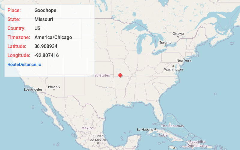
Full AddressGoodhope, Washington Township, MO 65608
-
Coordinates36.9089341, -92.8074156
-
LocationWashington Township , Missouri , US
-
TimezoneAmerica/Chicago
-
Current Local Time2:58:55 PM America/ChicagoMonday, June 2, 2025
-
Page Views0
About Goodhope
Goodhope is an unincorporated community in southwestern Douglas County, Missouri, United States. The community lies on the south side of the intersection of Missouri State Routes T and O and just west of the intersection of Route T with Missouri Route 76.
Goodhope had a post office from 1895 until 1923.
Nearby Places
Found 10 places within 50 miles

Ava
8.6 mi
13.8 km
Ava, MO 65608
Get directions

Squires
10.8 mi
17.4 km
Squires, MO 65608
Get directions
Abadyl
11.8 mi
19.0 km
Abadyl, MO 65620
Get directions
Girdner
12.8 mi
20.6 km
Girdner, Walls Township, MO 65755
Get directions
Wasola
15.1 mi
24.3 km
Wasola, MO 65773
Get directions

Sparta
16.4 mi
26.4 km
Sparta, MO 65753
Get directions

Seymour
16.5 mi
26.6 km
Seymour, MO 65746
Get directions

Taneyville
17.1 mi
27.5 km
Taneyville, MO
Get directions
Diggins
18.4 mi
29.6 km
Diggins, MO 65746
Get directions

Mansfield
18.5 mi
29.8 km
Mansfield, MO 65704
Get directions
Location Links
Local Weather
Weather Information
Coming soon!
Location Map
Static map view of Goodhope, Missouri
Browse Places by Distance
Places within specific distances from Goodhope
Short Distances
Long Distances
Click any distance to see all places within that range from Goodhope. Distances shown in miles (1 mile ≈ 1.61 kilometers).