Distance to Wasola, Missouri

Calculating Your Route
Just a moment while we process your request...
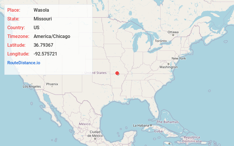
Location Information
-
Full AddressWasola, MO 65773
-
Coordinates36.7936698, -92.5757213
-
LocationWasola , Missouri , US
-
TimezoneAmerica/Chicago
-
Current Local Time9:53:28 AM America/ChicagoWednesday, June 18, 2025
-
Page Views0
About Wasola
Wasola is an unincorporated community in northern Ozark County, Missouri, United States. It is located sixteen miles north of Gainesville on Route 5, at its northern intersection with Route 95. The Ozark–Douglas county line is approximately one–half mile north of the town. A few businesses and homes are located there.
Nearby Places
Found 10 places within 50 miles

Ava
11.9 mi
19.2 km
Ava, MO 65608
Get directions

Gainesville
15.5 mi
24.9 km
Gainesville, MO 65655
Get directions

Theodosia
15.6 mi
25.1 km
Theodosia, MO 65761
Get directions

Sundown
16.1 mi
25.9 km
Sundown, MO
Get directions

Pontiac
19.3 mi
31.1 km
Pontiac, MO 65729
Get directions

Mansfield
21.6 mi
34.8 km
Mansfield, MO 65704
Get directions

Norwood
23.5 mi
37.8 km
Norwood, MO 65717
Get directions

Taneyville
25.6 mi
41.2 km
Taneyville, MO
Get directions

Seymour
26.6 mi
42.8 km
Seymour, MO 65746
Get directions

Kissee Mills
27.3 mi
43.9 km
Kissee Mills, MO
Get directions
Location Links
Local Weather
Weather Information
Coming soon!
Location Map
Static map view of Wasola, Missouri
Browse Places by Distance
Places within specific distances from Wasola
Short Distances
Long Distances
Click any distance to see all places within that range from Wasola. Distances shown in miles (1 mile ≈ 1.61 kilometers).