Distance to Lindsay, Montana

Calculating Your Route
Just a moment while we process your request...
Location Information
-
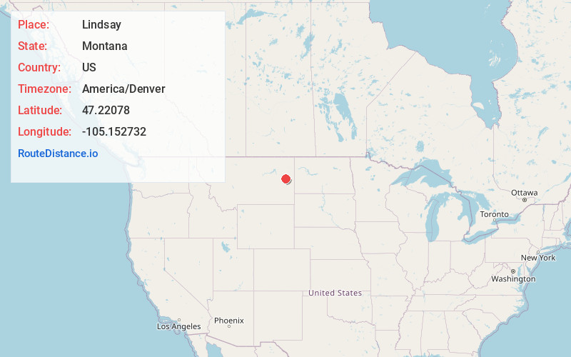
Full AddressLindsay, MT 59339
-
Coordinates47.2207797, -105.1527318
-
LocationLindsay , Montana , US
-
TimezoneAmerica/Denver
-
Current Local Time10:15:32 PM America/DenverTuesday, June 3, 2025
-
Page Views0
About Lindsay
Lindsay is an unincorporated hamlet in Dawson County, Montana, United States, located on Montana Highway 200S and the Upper Sevenmile Creek, 22.3 miles west-northwest of Glendive. The community has a post office with ZIP code 59339, a public school, and a cooperative.
Nearby Places
Found 10 places within 50 miles

Bloomfield
17.2 mi
27.7 km
Bloomfield, MT 59315
Get directions

West Glendive
20.7 mi
33.3 km
West Glendive, MT 59330
Get directions

Glendive
22.2 mi
35.7 km
Glendive, MT 59330
Get directions

Circle
24.5 mi
39.4 km
Circle, MT 59215
Get directions

Fallon
26.7 mi
43.0 km
Fallon, MT
Get directions
Brockway
29.1 mi
46.8 km
Brockway, MT
Get directions
Richey
29.5 mi
47.5 km
Richey, MT 59259
Get directions

Terry
30.5 mi
49.1 km
Terry, MT 59349
Get directions
Lambert
40.4 mi
65.0 km
Lambert, MT 59243
Get directions
Savage
41.2 mi
66.3 km
Savage, MT 59262
Get directions
Location Links
Local Weather
Weather Information
Coming soon!
Location Map
Static map view of Lindsay, Montana
Browse Places by Distance
Places within specific distances from Lindsay
Short Distances
Long Distances
Click any distance to see all places within that range from Lindsay. Distances shown in miles (1 mile ≈ 1.61 kilometers).